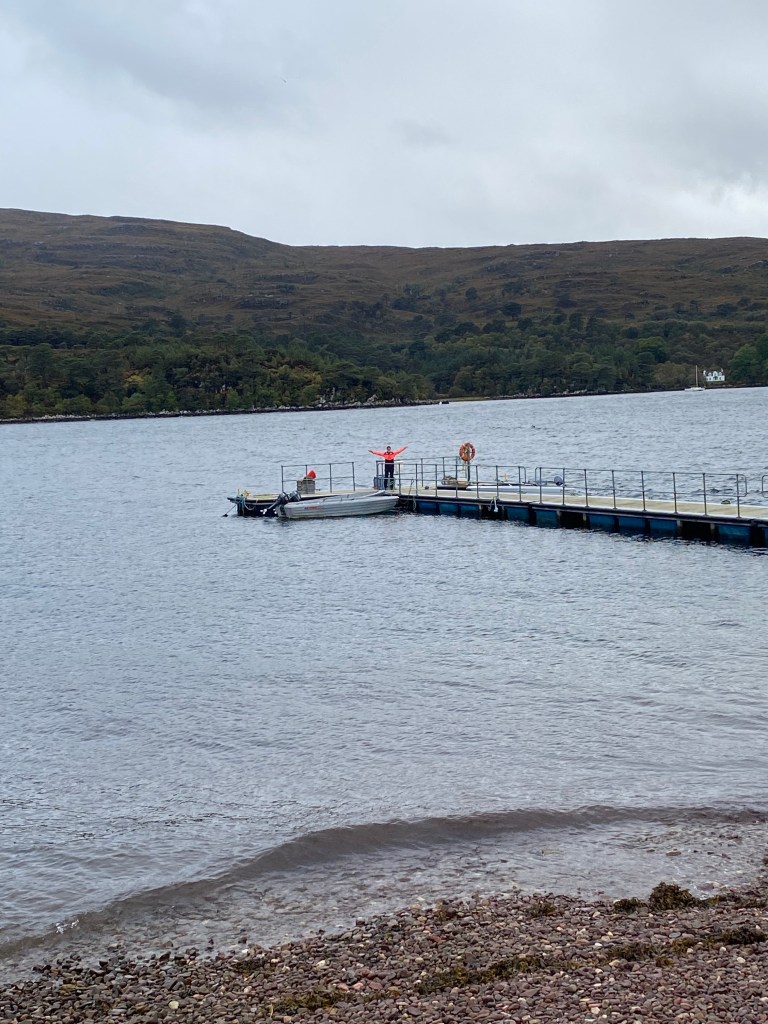
I had hopped into Glasgow for the day and was heading onwards to visit my Aunt Janet and Uncle Stuart, and Clyde the dog, in Troon. I headed out towards Largs, where I knew I could stay at the Marina – a campervan friendly place. Passing through Kirbirnie, I took a wrong turning, and found myself on a single track backroad, on a very dark night with bucketing rain. I thought about turning round but google maps told me the road would loop me round to where I needed to be. So, overly trusting, I carried on.
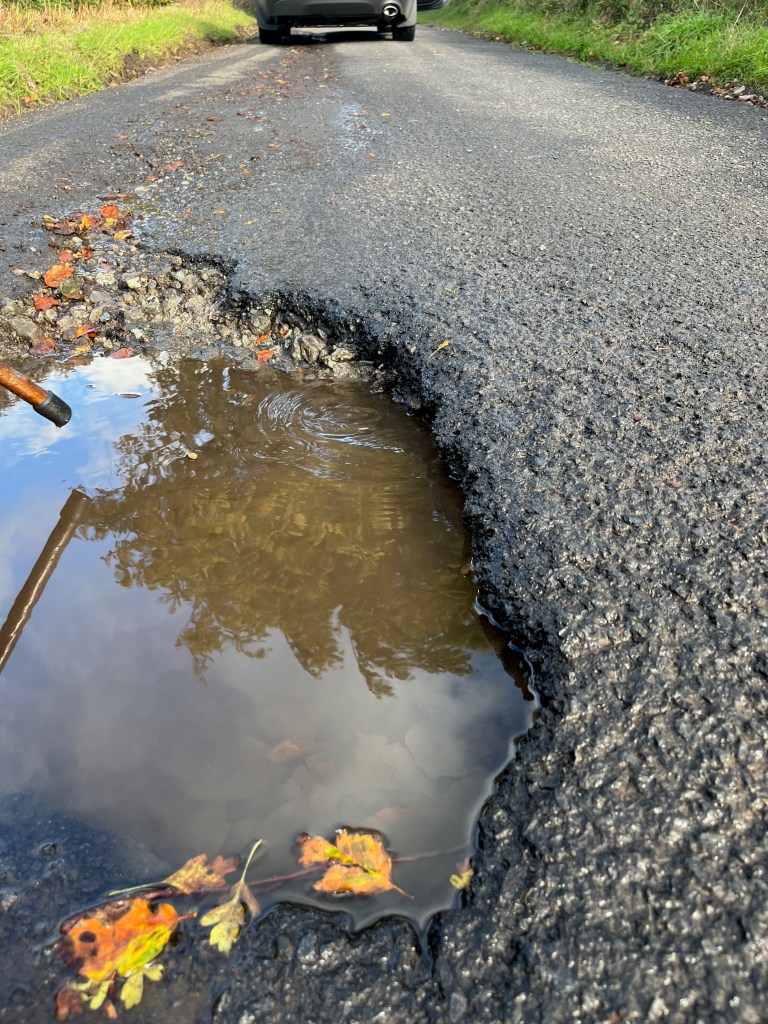
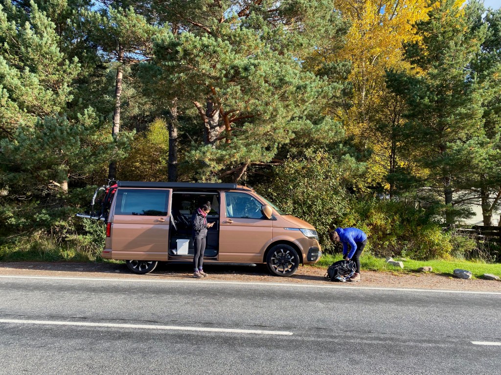
But the road worsened, and in the heavy rain I was soon playing a very un-fun guessing game of “Puddle or Pothole?”. Spoiler: I lost. One of my back wheels, and my heart, sank into a monster of a pothole. I actually shouted “Fuck” aloud and then held my breath. Maybe I got away with it? But 3 seconds later the loss of tyre pressure warning popped up, and a few seconds after that one of my back corners started to sag. Just at this moment, the road became a steep downhill slalom, with nowhere to stop til the bottom. Perfect. And when I stopped and hopped out the van to check, I saw the sorriest sight.
I called Green Flag – I do *know* how to change a tyre, but believe me these are hefty things and the advice (even for men) is don’t do it yourself unless there’s no other option. It took Green Flag a couple of hours to get to me, but the plus side of campervan life is I cooked up and had a very nice dinner while I waited. 😀
At Kwik Fit in daylight the next day we were able to see two cuts to my tyre wall. I headed back to the scene of the crime a couple of days later and found the pothole that bit me. I’m trying to report this to the council and hopefully claim for my £200 tyre, but when you do this their website says “500 – server error!”. Hmm. Not sure that’s entirely by accident.
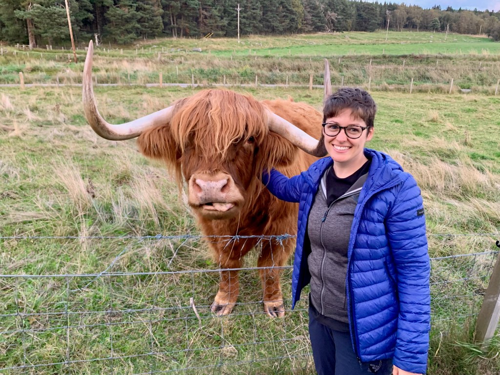
what a beast
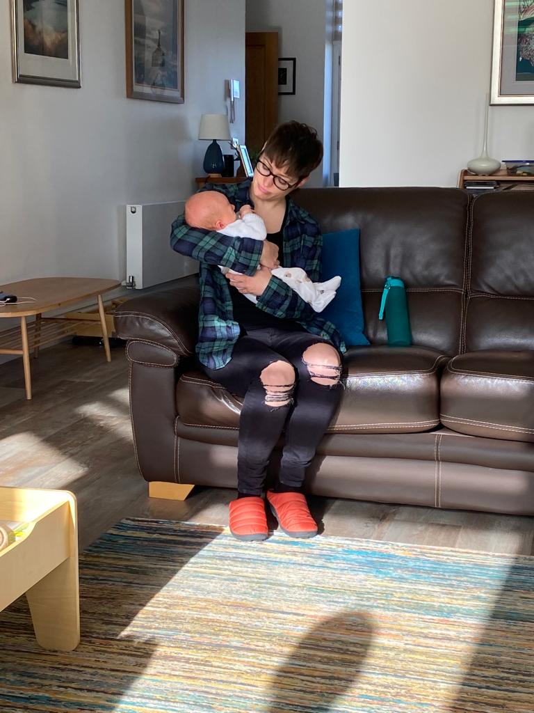
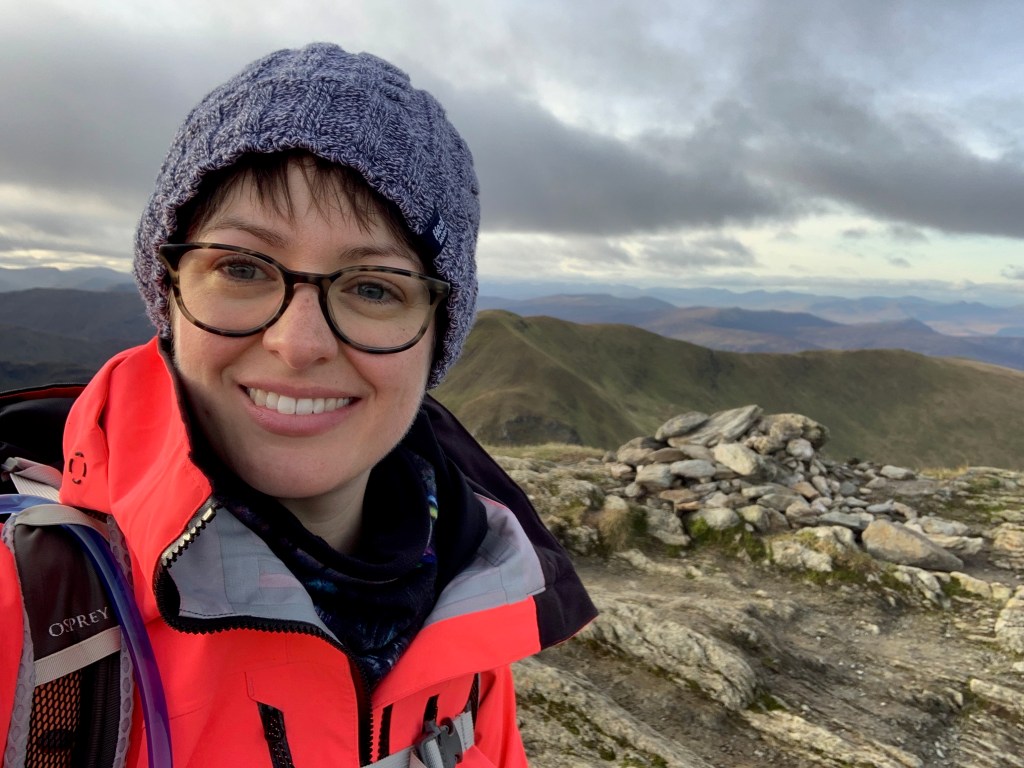
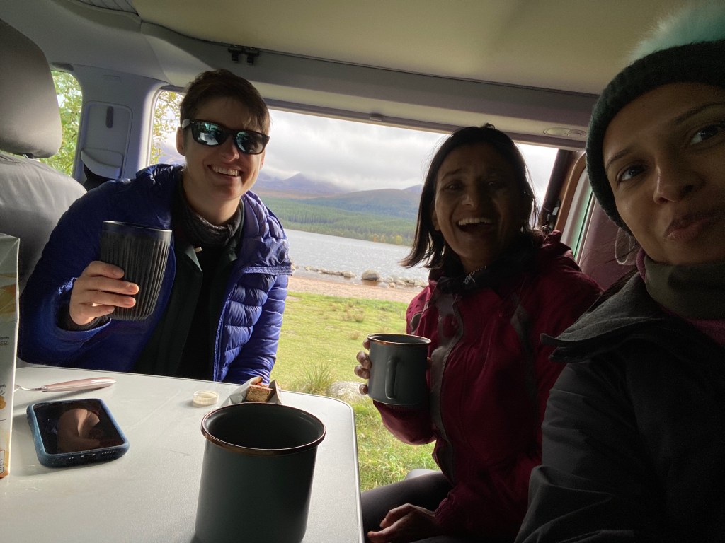
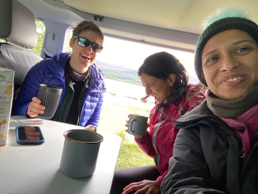
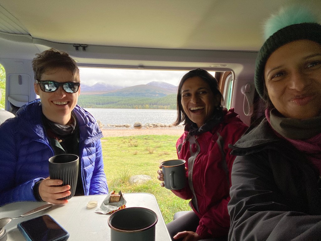
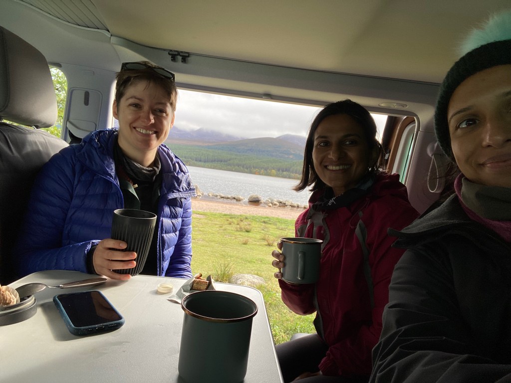
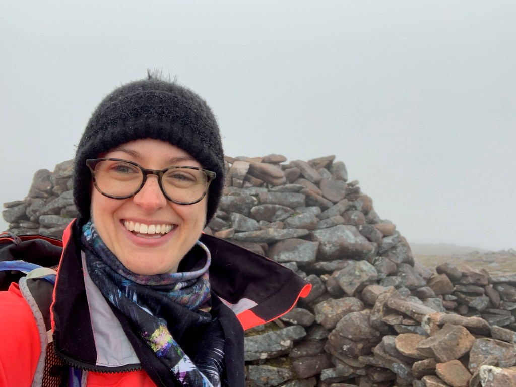
Anyhoo despite the flat tyre hiccup, I still made my way to Troon. It was SO GOOD to catch up with more family that I hadn’t seen in over 2 years. We also visited my Granda who I probably haven’t seen in closer to 5 years, so it was fantastic to see him and tell him about my travels around places he has known well his whole life. My cousin Lee came over with her husband Pete and their two beautiful boys – Jasper who is 2 and Rupert who was just 4 weeks old at the time!! Here is me with the wee baby.
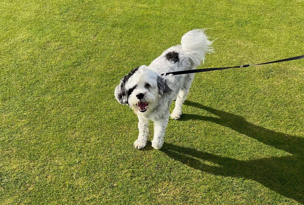
And here is me with Clyde!
what a good boy!
I had a couple of nights in a king size bed, got to chill out on a proper sofa, watched some TV, got to shower daily, got taken out for a fancy lunch, and got a free laundry. Proper luxury! I’ll definitely be back!!
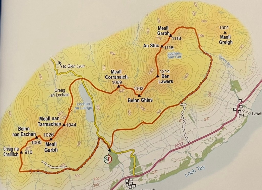
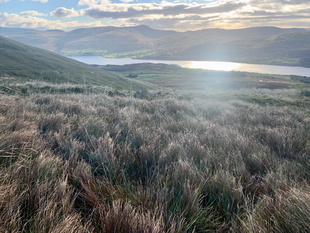
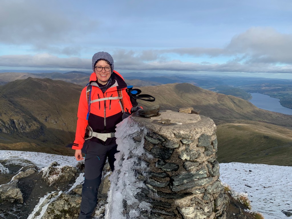
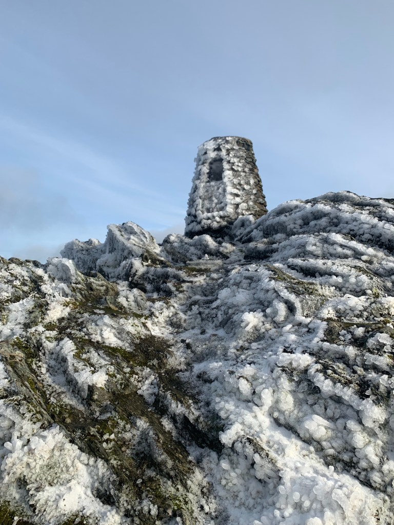
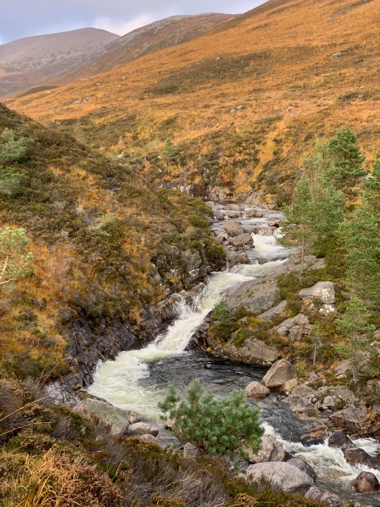
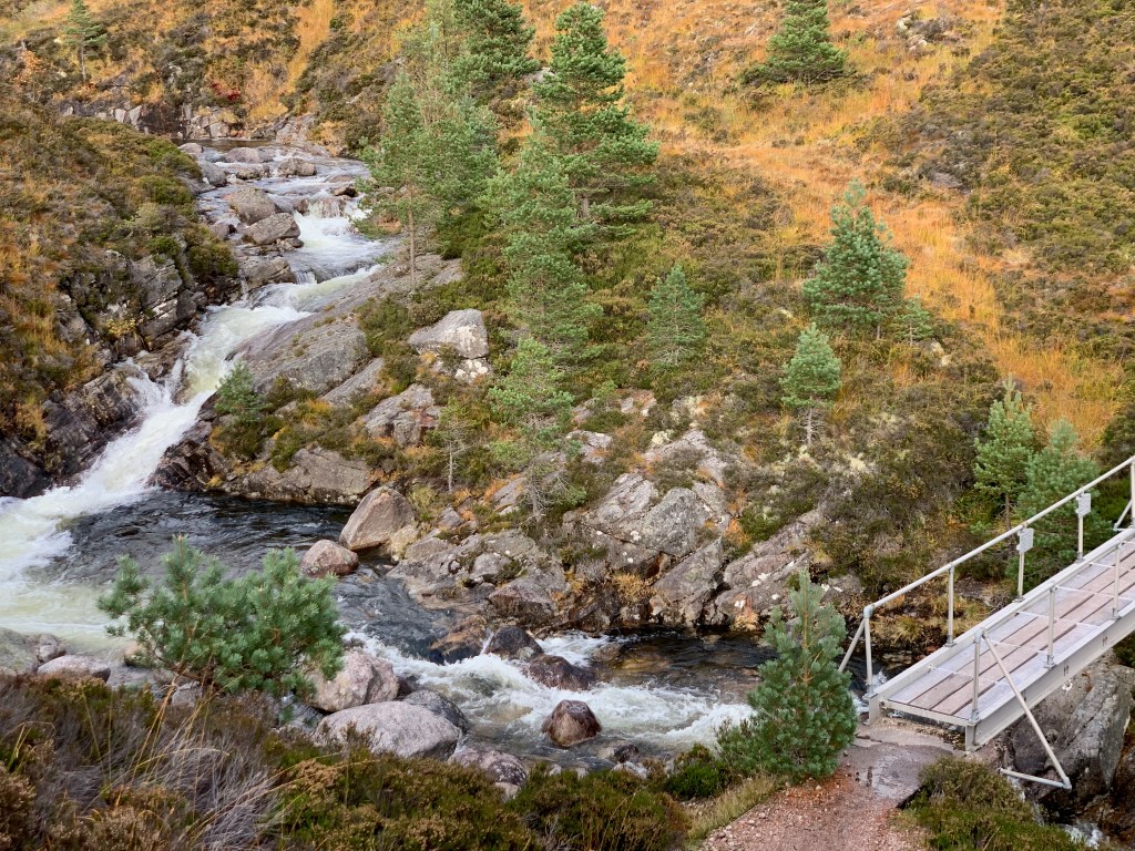
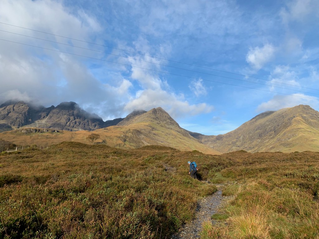
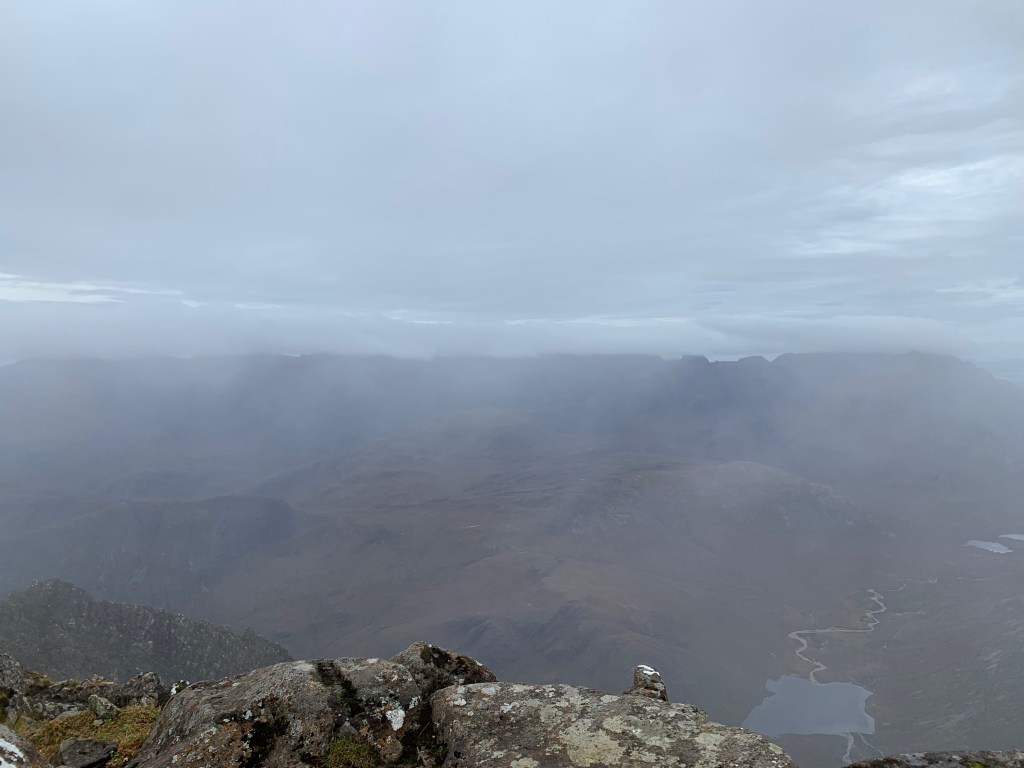
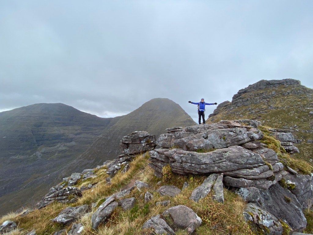
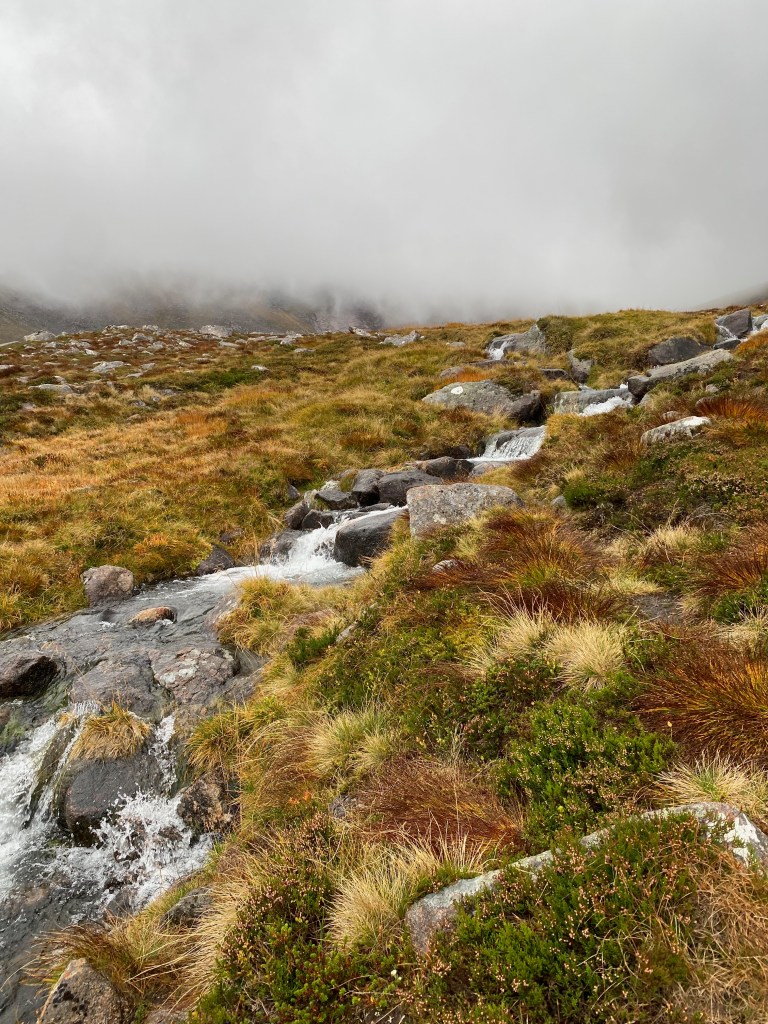
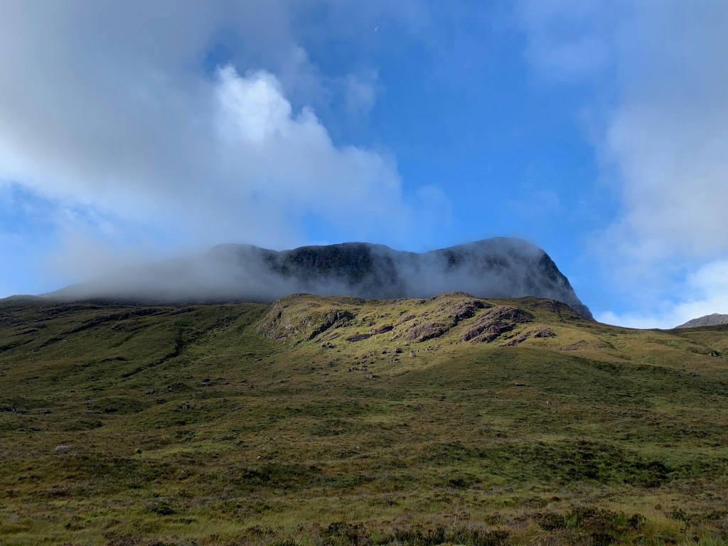
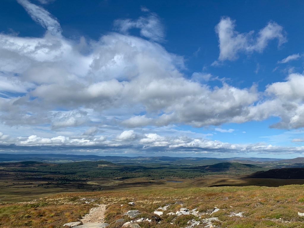
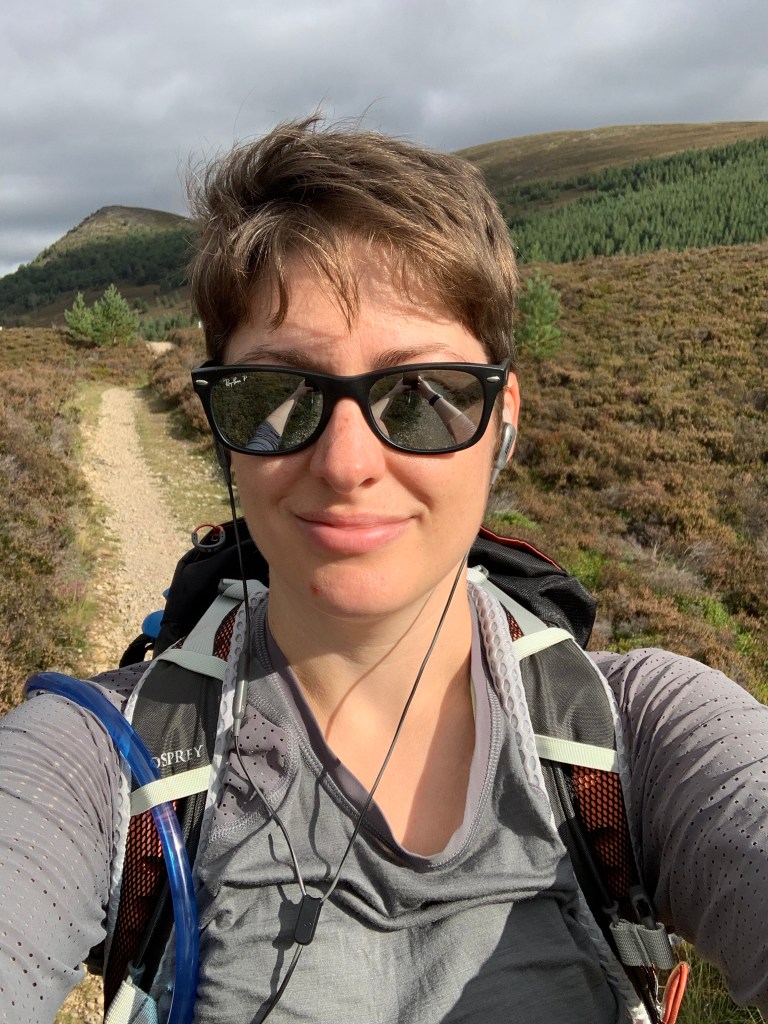
I decided it was time to be a bit more ambitious, and branch out from following the Walk Highlands routes which are the most trodden paths up the hills. The weather was looking good for Ben Lawers, the highest peak in Perthshire, and one of my other munro books had a route that caught my eye. The full route is 9 munros in one walk which, even if I had the legs for (I don’t), I certainly wouldn’t have the daylight for. But the route has an obvious division so I planned to tackle the easterly half, with Lawers in the middle.
This is from Great Mountain Days in Scotland – 50 classic hillwalking challenges, Dan Bailey
The night before had been pretty wild and windy, but I woke to a bright Autumn morning. I headed out, excited. The route headed out along the grassy slope of Beinn Ghlas. From reading the book, this section of the walk sounded like a delight. In practice, it was dense thick spongey grass which hid knee-high crevasses where the water ran off the hill. The book nonchalantly said “make a gradually rising traverse on sheep tracks” but I can assure you there hadn’t been sheep making tracks or trimming the grass on this slope for a long while. This was an extremely grassy, extremely slopey slope. I waded my way along, cursing the author’s surely longer legs than mine, and checking my progress so often I was continually disappointed. The plus side of toiling along this route was the view of Loch Tay in the morning sun.
Looking back the way I’d come
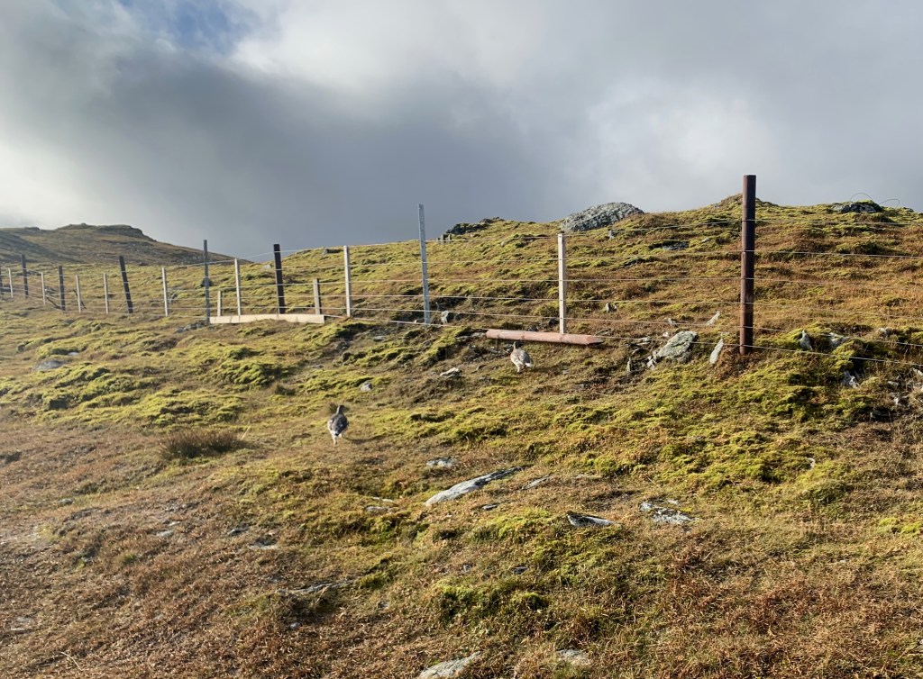
I eventually got round to the Lawers burn and negotiated my way across. This had taken a fair bit longer than I had budgeted for so I forced my tired legs to get a hustle on. There was a red deer scarpering up the hill ahead of me, though this was too fast for a photo. A bit further up two funny little Ptarmigans were pretty flustered by my appearance. They upped and trotted along, but instead of hopping out the road, they bounced along the path ahead of me for a while.
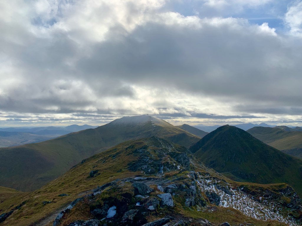
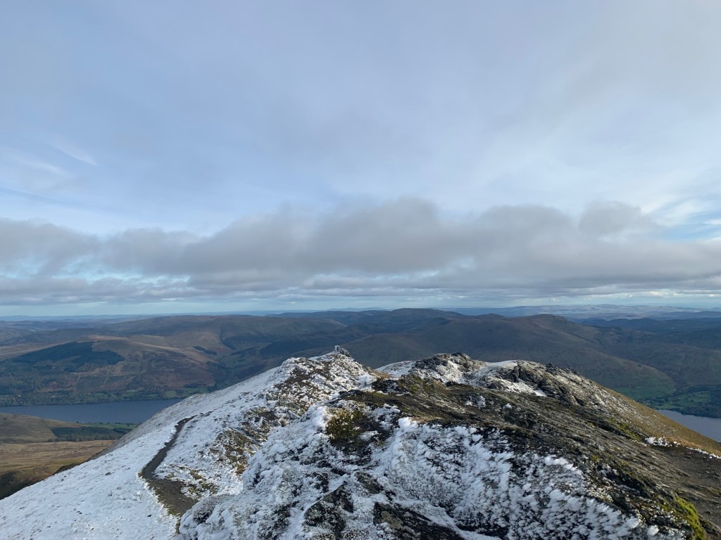
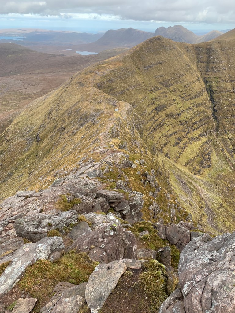
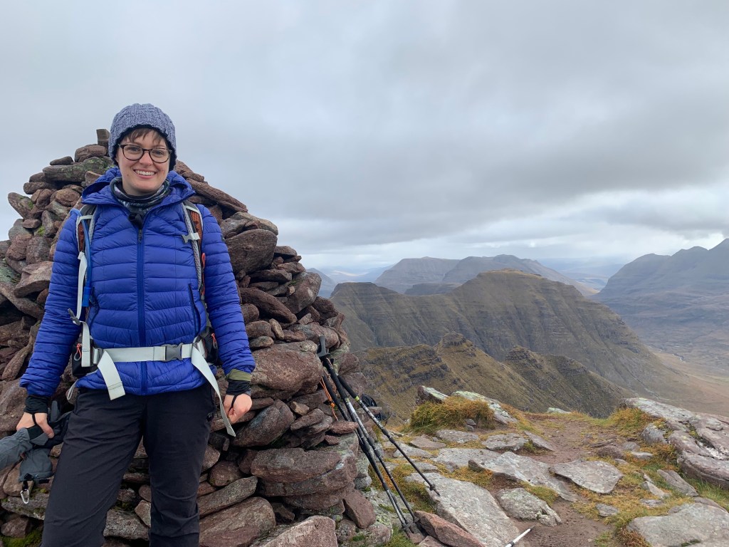
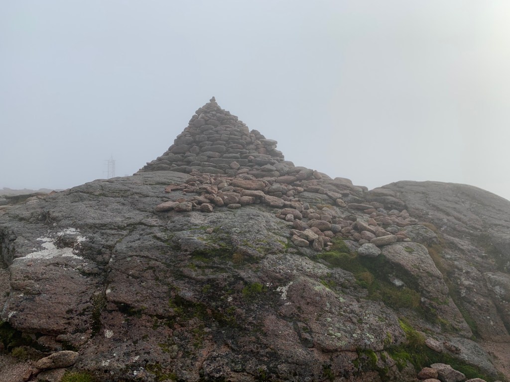
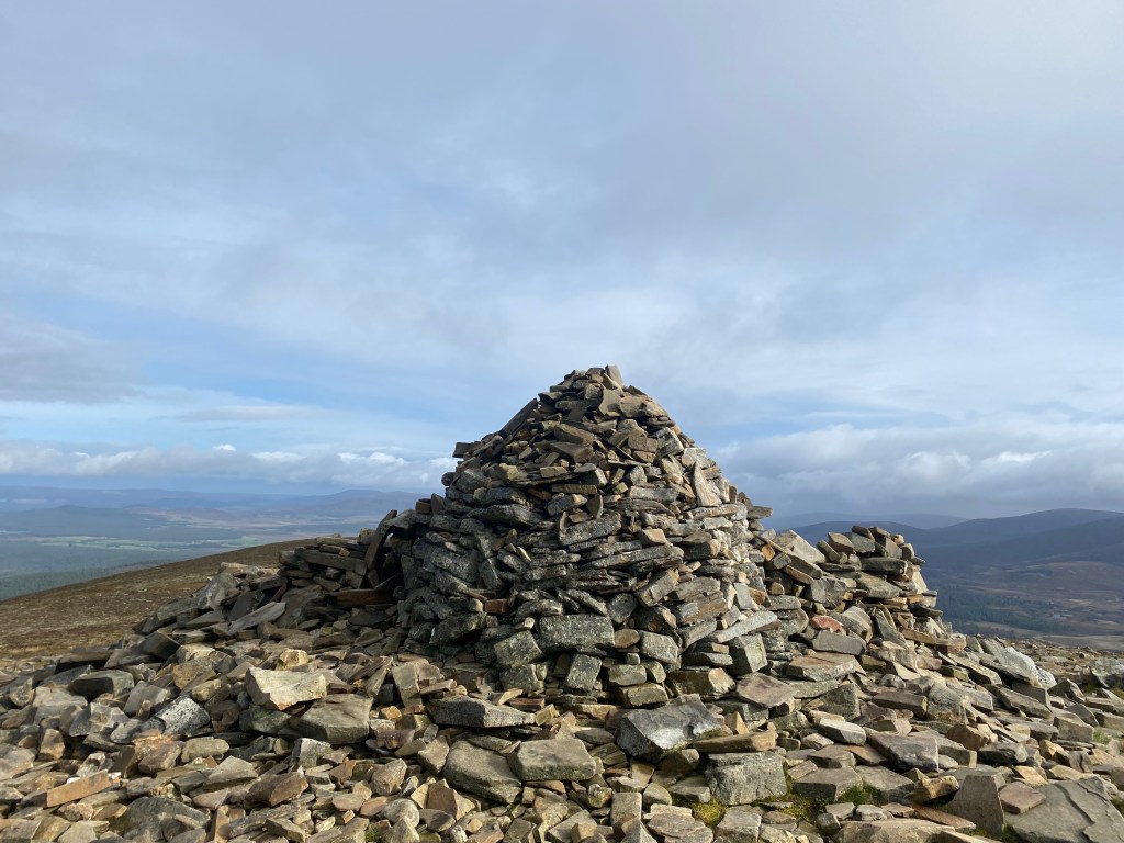
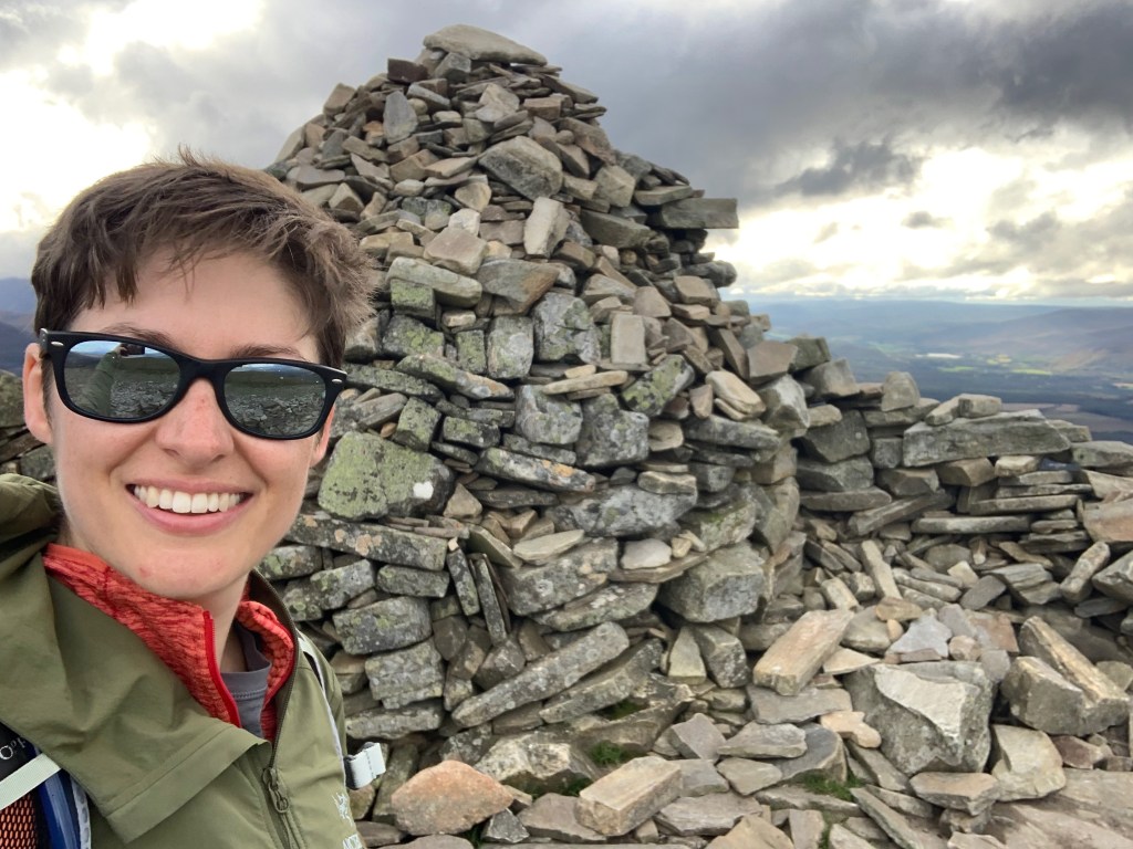
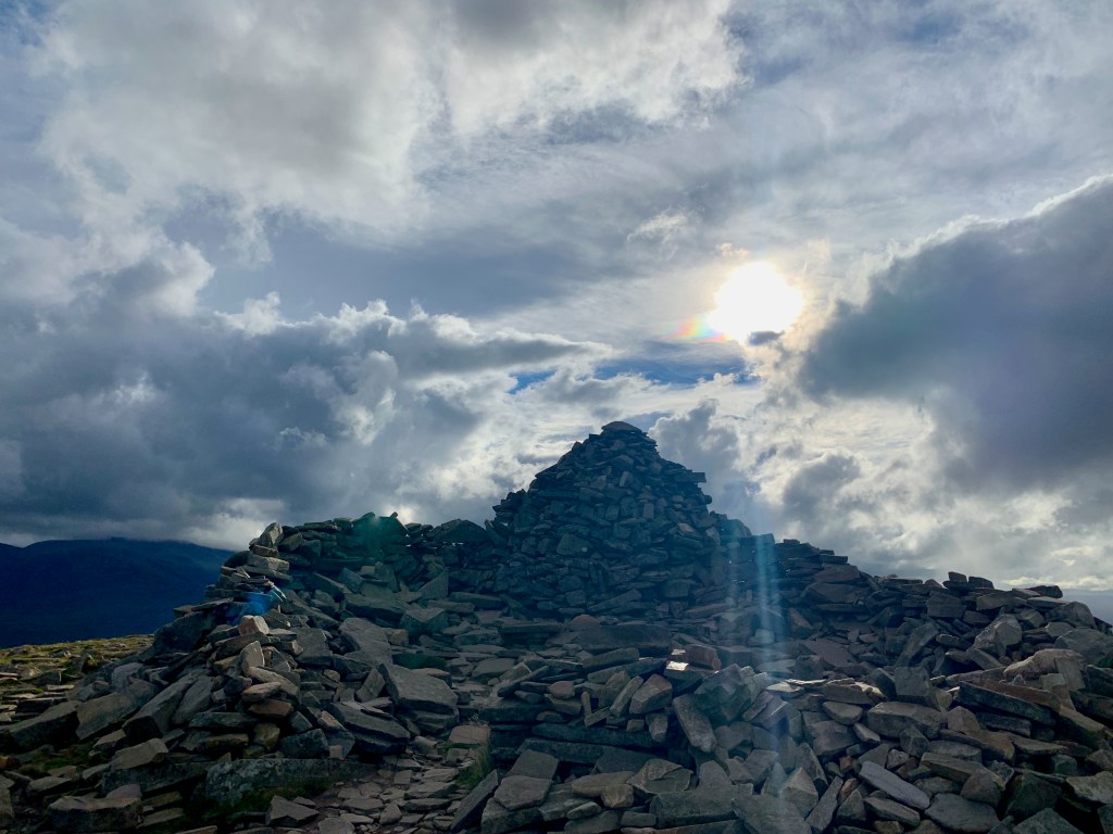
It was a straight walk up to the summit of Meall Garbh, then a quick scramble up to the saddle summit of An Stuc. I didn’t stop for long at either of these tops because I was feeling behind time and there was a chilly wind. But here are the quick cairn snaps.
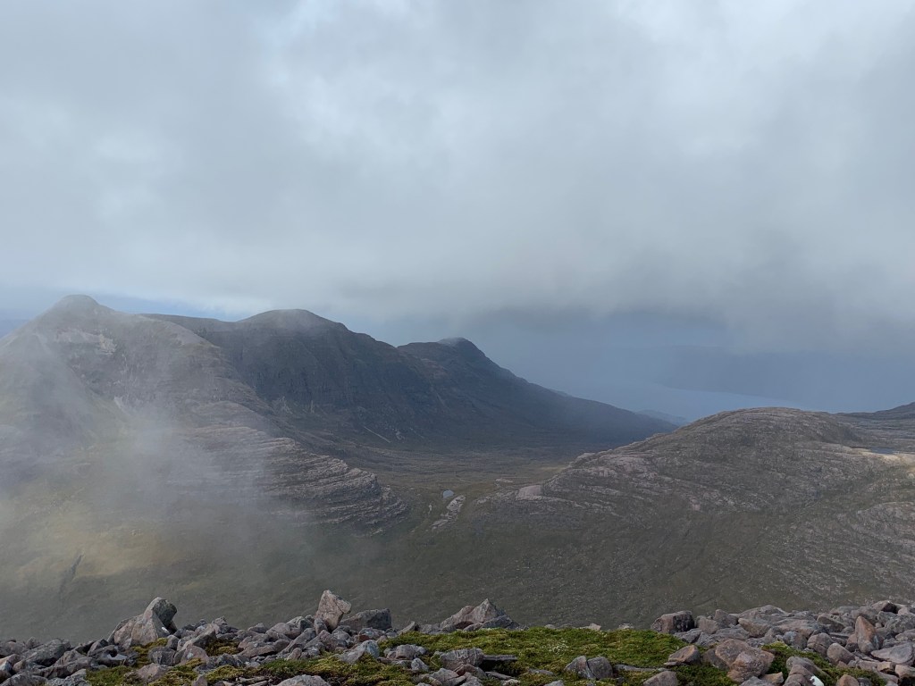
From Meall Garbh looking to An Stuc (right / middleground), and Ben LawersAn Stuc
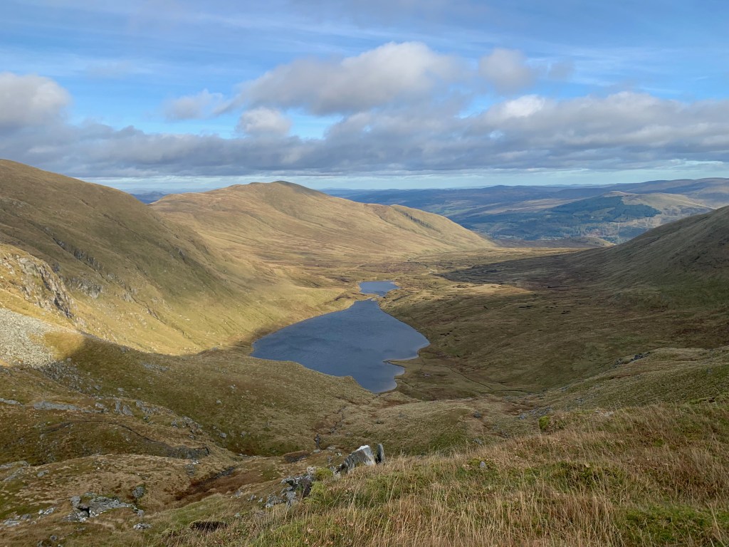
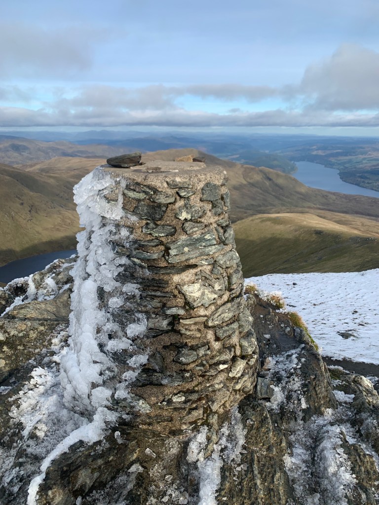
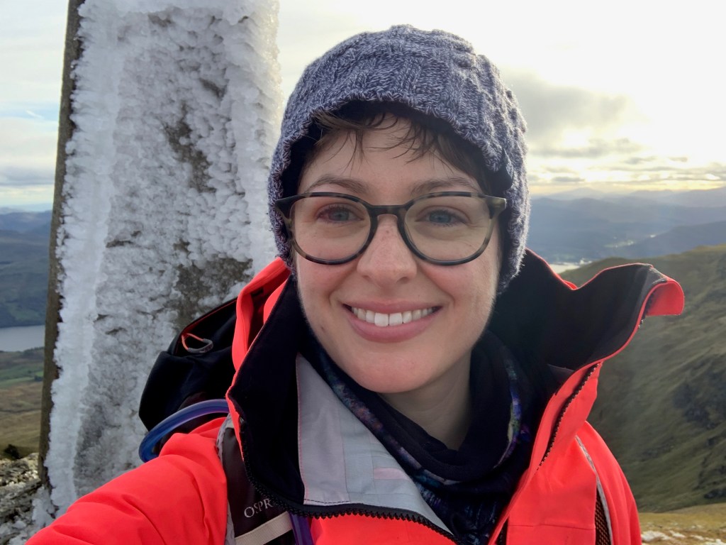
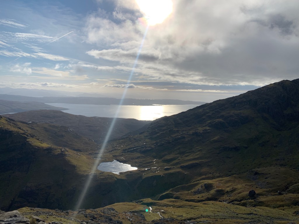
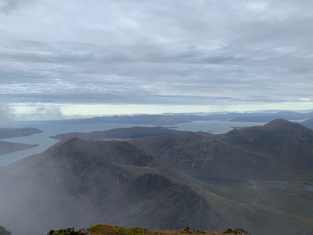
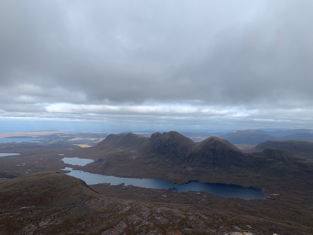
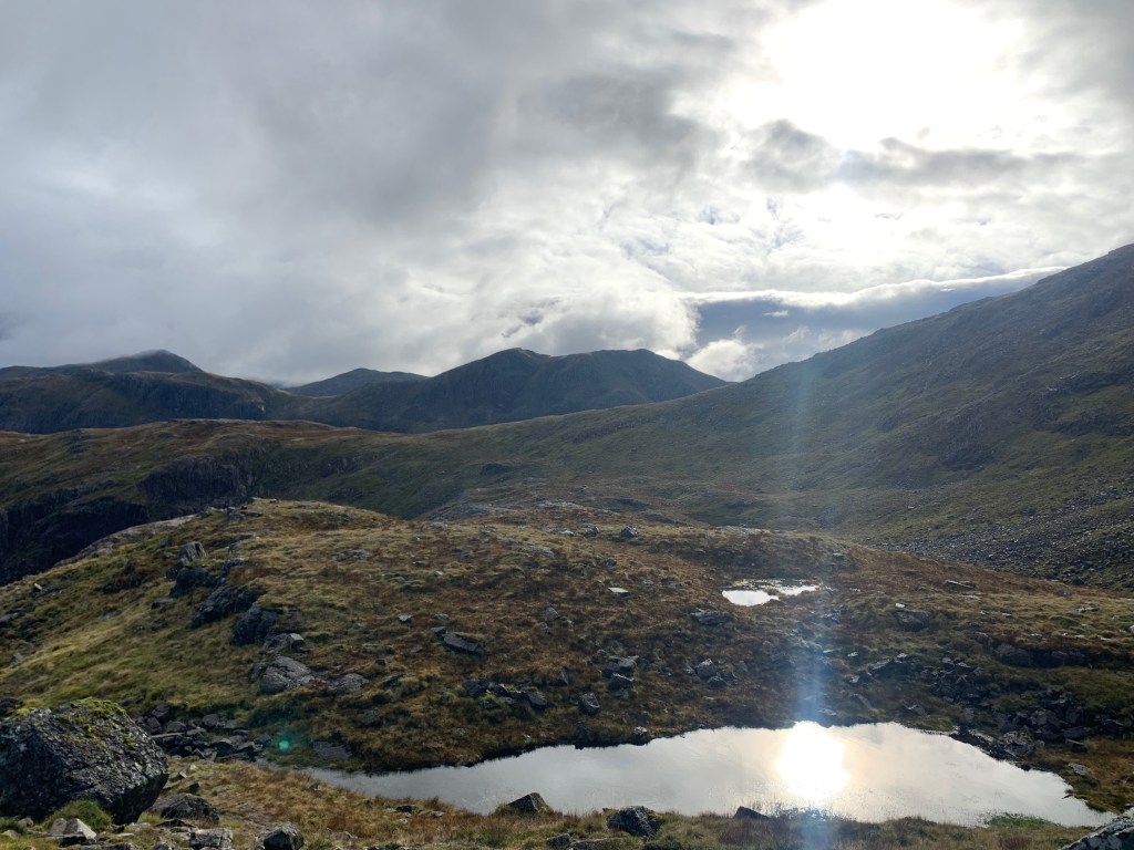
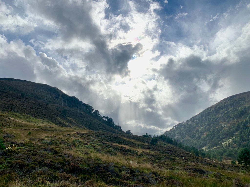
The route from An Stuc on to Ben Lawers lost a depressing amount of elevation. I passed Lochan nan Cat – so called because it supposedly looks like a cat. My book had ‘wittily’ remarked that it might be better named Lochan nan Splodge and I had a good chuckle at this (I spend a lot of time on my own these days…). Anyway Ben Lawers was looking good with a white top so I was keen to get up there, and it didn’t disappoint. Standby for lots of pics, I liked this one.
Lochan nan SplodgeWhen someone offers to take your picture but you’re literally looking into the sunGuess which way is NorthReally stunning summit
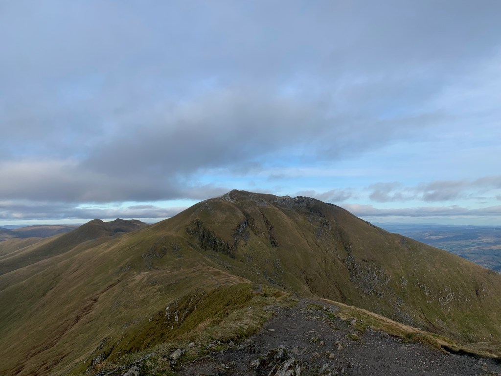
I wanted to stick around at the summit of Ben Lawers longer but the day was getting on and I hoped to squeeze in two more munros before it got dark. Onwards to Beinn Ghlas up an easy path, this one was a gentler munro.
Looking back to Ben Lawers
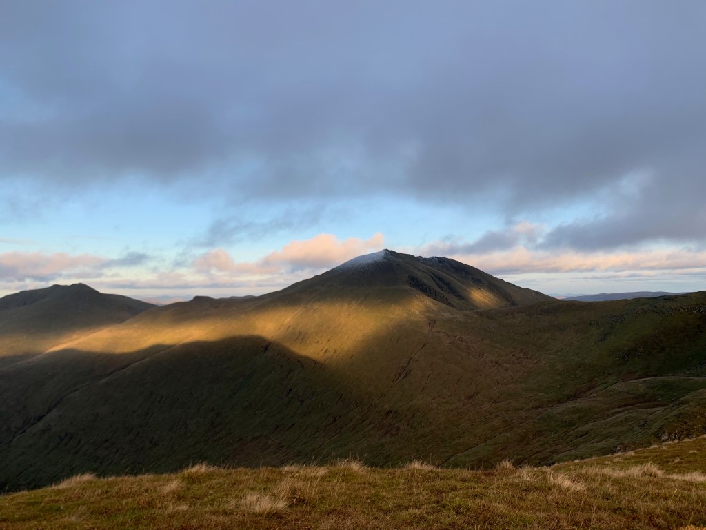
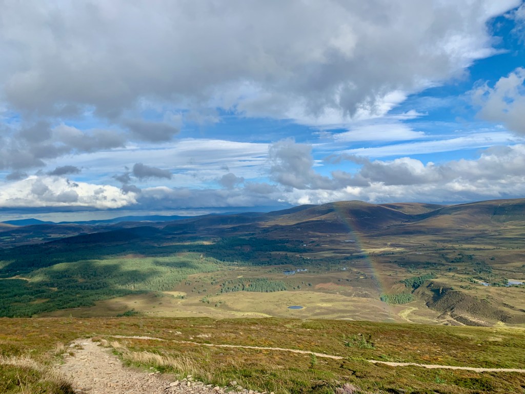
Now, at the top of Beinn Ghlas it was later than I had planned, but I didn’t want to be defeated soooo I decided to shoot up the last munro on my hit list for the day. I knew this would be tight on time but just about do-able. And when I got to the top… sunset!! Delicious!!
Ben Lawers againYummmCouldn’t resist
Sooo after about 5 minutes frolicking in the sunset, I then started to wonder if I was going to break my legs in the dark on the way down…. The most direct route down would be to take the shoulder of the hill, though this would only have bits of broken path on it. Surely plenty of people have walked this way through the summer? The alternative of retracing my steps would be a bit scrambley and on the shady side of the hill so probably quite dark.
Again I told my tired legs to get a hustle on. The path was intermittent at best. Was this a sheep trail or a bonafide path? Was that a bootprint of a previous walker or did I imagine it? The path disappeared at the top of a steeper grassy slope and it became every hiker for themselves. I was back in thick grass, distinctly off-path, and slipping and sliding on spongey marsh and into calf-deep crevasses hidden by the grass. Hmmmmm.
As the gloaming deepened, my pace quickened. I knew I was heading in the right-ish direction, but it was further than I had expected. Shouldn’t I be near a path by now?? I doubted myself, and checked the gps a few times. I put off getting the head torch out, keen to keep my dusk-adjusted eyes as long as possible.
Eventually I saw a style over a deer fence which would take me back into the conservation area and back to the path. Perfect! One downside of the conservation area was… even longer, thicker, spongier grasses (though I’d say the upsides still have the edge). This would have been much more fun to walk in by daylight, less fun when you’re trying to move fast in the dark. After a few mis-steps in the marsh… I was back-on-path!! Phew. Aaaand breathe. I had said aloud the night before “it got dark at 6.30” so I’d remember it. I checked the time when I got back to the van… it was 6.32pm! About 5 minutes later it was pitch black.
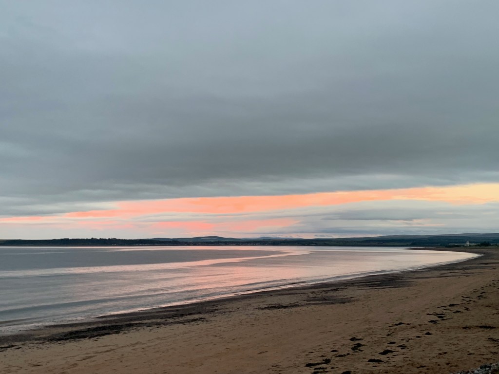
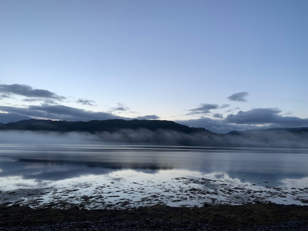
Someone in a coffee shop in Inverness mentioned to me that Rosemarkie was worth a visit. Given the coffee shop in question served me outstanding coffee and veggie food (Velocity cafe for anyone interested), I thought I’d take them up on this recommendation. Rosemarkie sits on the north side of the Moray Firth, on a small spit of land that sticks out into the water. It is apparently one of the best places in the world to see dolphins from the land, because they chase salmon up the Moray Firth… but I didn’t see any 😦 😦 😦
The nice people at Rosemarkie campsite were able to squeeze me in, and I was pitched pretty much right on the beach. I had a wander up the beach and sat down watching the waves while the sunset developed. Later on we also got a very bright moon which highlighted the fluffy clouds passing by in the dark.
The sound of the waves was so loud that every so often a huge crashing sound would make me jump, forcibly reminding me that I was by the sea. Funnily enough the waves were *almost* too loud, and I wondered if they’d slowly drive me mad if I was to stay for a week. I didn’t stay to find out because I was heading back to munro country the next day once all my van-chores (laundry, water fill, empty bins and toilet etc) were done.
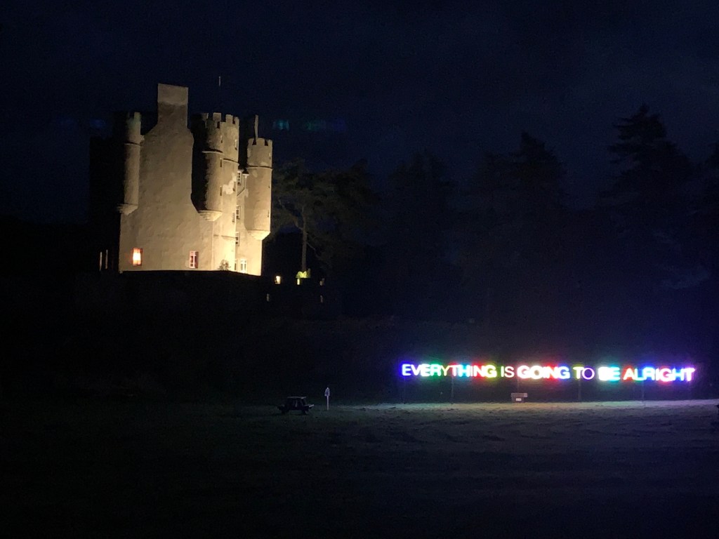
I hadn’t been round to the Braemar side of the Cairngorms yet so I thought it was high time. And it was a high drive over the Lecht down to the Linn of Dee where a bunch of munro walks in my books start from. I stopped en route at Braemar castle to take a snap of their reassuring message:
Aaand breathe
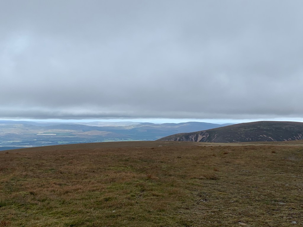
At only 27km(!) Carm a’ Mhaim is one of the shorter walks in this area, so I thought it would be a good one to get the lay of the land. The skies were looking nice in the morning so I kept the pace up on the looong walk out to the hill hoping they’d still be nice when I got to the top.
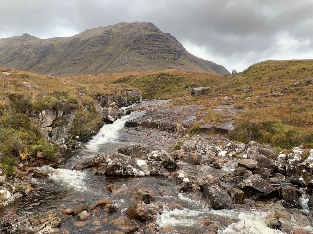
When I got to the Luibeg Burn I opted for the stepping stones. I’d seen a few signs that one of the bridges was out of use, and assumed (lazily without checking the map) that it was the one over this Burn. Plus there were footprints at the edges showing others had clearly opted to hop across on the stepping stones and I didn’t want to be out-done! There were several options on where to cross – I tried but backed out of a couple of places because the stones were very slippy, or it was too big a leap for my little legs, or the stepping stones were too submerged in fast running water. One slip and I’d quickly find myself knee deep in very cold water. On a third attempt I told myself to stop wimping out. I got over one, two, onto a third in the middle of the stream, found my footing on the next – submerged – stone, held the balance, prepared for the next step and…. gaaaaah…. Mayday – river in boot! Given I managed to keep one foot dry, we’ll begrudgingly call this one a draw – River: 1, Me: 1. I sat down to wring out my sock and half the river came out.
Luibeg BurnDon’t be fooled by how pretty it looks – this water wants in yer boots!One wet boot
Up the hill the wind was a’blowin! One of the windiest days I’ve walked on. I was getting decisively shoved and bullied about by the wind. Each time I lifted a foot to take a step it would land in a totally different place to where I’d intended. Anyway I battled on up to the top and thanks to the winds keeping the clouds at bay – got clear views!!
Carn a’ Mhaim looks across the Ben Macdui so I’d like to dedicate these pictures to Tash and Udani who slogged up Ben Macdui in the mist to not even see Ben Macdui!
Looking across to Ben Macdui – dedicated to Tash and Udani!Think this might be the barns of Bynack More in the distance
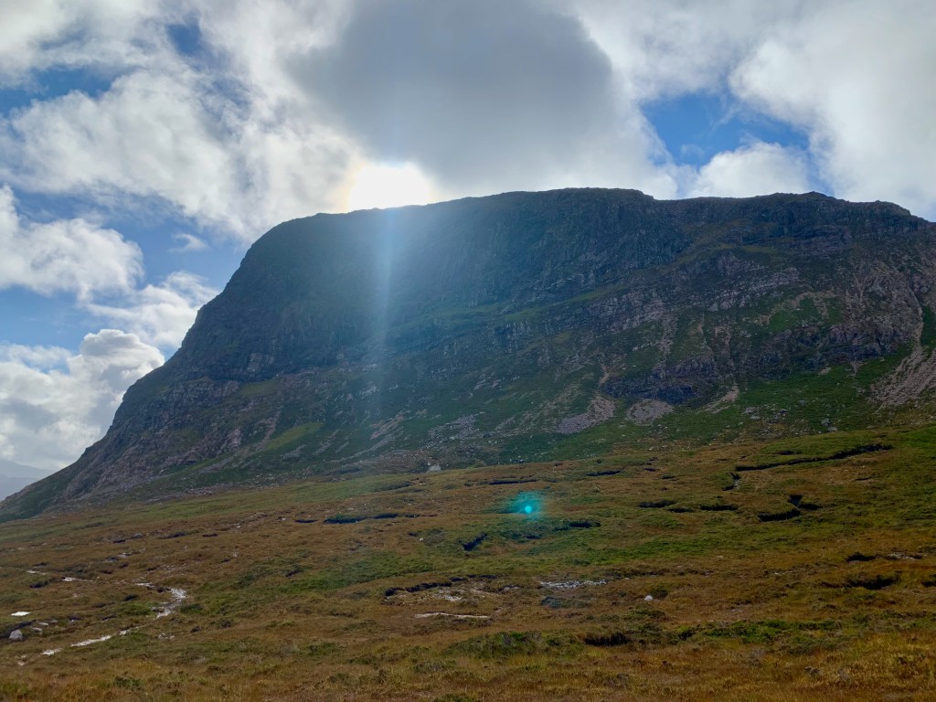
The sun came out in force as I went back down the hill, giving me the pictures-with-the-green-dot that I like to get from shooting into the light.
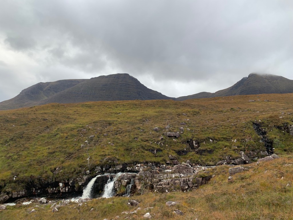
On the way back I decided to walk up the river to see if there was an easier place to cross, keen to keep my one-dry-foot dry. Further up the river it was flowing more ferociously over some mini-rapids. And…. ta da!! The Bridge! Me: 2, River: 1 😀
I think that’s all I have to say on this one, but lets just have one more green dot from the walk back for good measure:
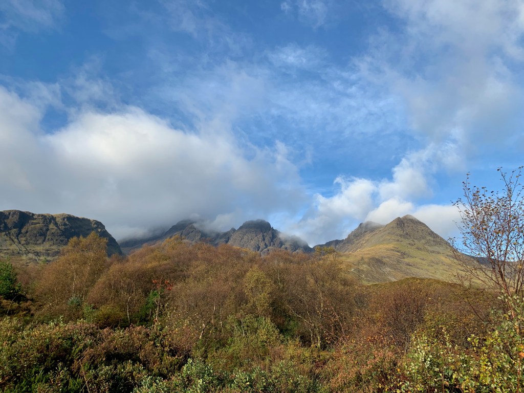
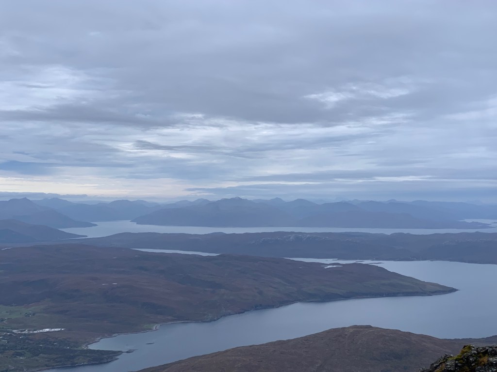
I’m a bit behind on the blog so I’m still on the weekend Tommy visited. Anyways Tommy chose the hill we would tackle the day after Beinn Alligin. After a look at the maps and the books he fancied Bla Bheinn, also known as Blaven. Blaven sits on its own on Skye, a bit of an outlier to the Black Cuillin. I think one of my books described it as possibly the finest mountain in Britain.
So we headed over to Skye, monstered a curry, and drove on towards Blaven. We camped the night before near the start of the walk, and woke up to a stunner of a morning. It was pretty chilly, and there was a bit of cloud around the tops, but the sun was out as we set out to the hill.
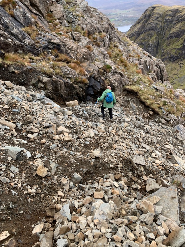
It was a good varied walk up, some stepping stones, some grass, some scree, some scrambling. We got some stunning views behind us with huge skies. Half way up we met a scree melee which was constantly moving underfoot like some nightmare funhouse from the fair, offering a very real threat of a nasty skinned knee. And the skies on the other side of the scree were looking increasingly misty.
Having a wee sit down before entering the screeFun fun fun
We met some folk who were on their way down. One chap had set off up the hill at 7am, and said he was looking at clear blue sky at the top most of the way up, but got no view once he was up there. Everyone coming down said they’d hung around at the top as long as possible hoping it would clear, but eventually gave up. We carried on and got to the top for the standard picture. On a clear day Blaven gives a fantastic view of the Black Cuillin – that’s what everyone wants to see. We put all our layers on and hunkered to down to eat our sandwiches, willing the wind to shift the clouds. We eventually gave up and headed down like everyone else.
The Black Cuillin.
But on the way down, some views started opening up again. We stopped to take pics and chatted to another pair who were evaluating whether to head back up. We were starting to see massive views across to the West Coast and the Islands, but as one of the other guys said “that’s shite – we came to see the other side!!” hahaha. After 5 minutes it was getting really cold, which tipped the scales since heading back up would at least warm us up again.
That’s shite!!
As we got to the top the clouds were thickening again. Gaah. But we stuck it out again since they were moving, and we got some glimpses of the Cuillin, though a bit like looking at the Black Cuillin through frosted glass. I’m afraid the picture is underwhelming, but it was SO EXCITING to get a wee look at this! The views out to the West Coast continued to brighten, and weren’t that shite after all.
The Black Cuillin, take two.
We eventually got cold and trudged back down the hill for the second time, tired but satisfied. I can see why this could be considered one of the best mountains in Britain, will definitely be back.
Back down the scree
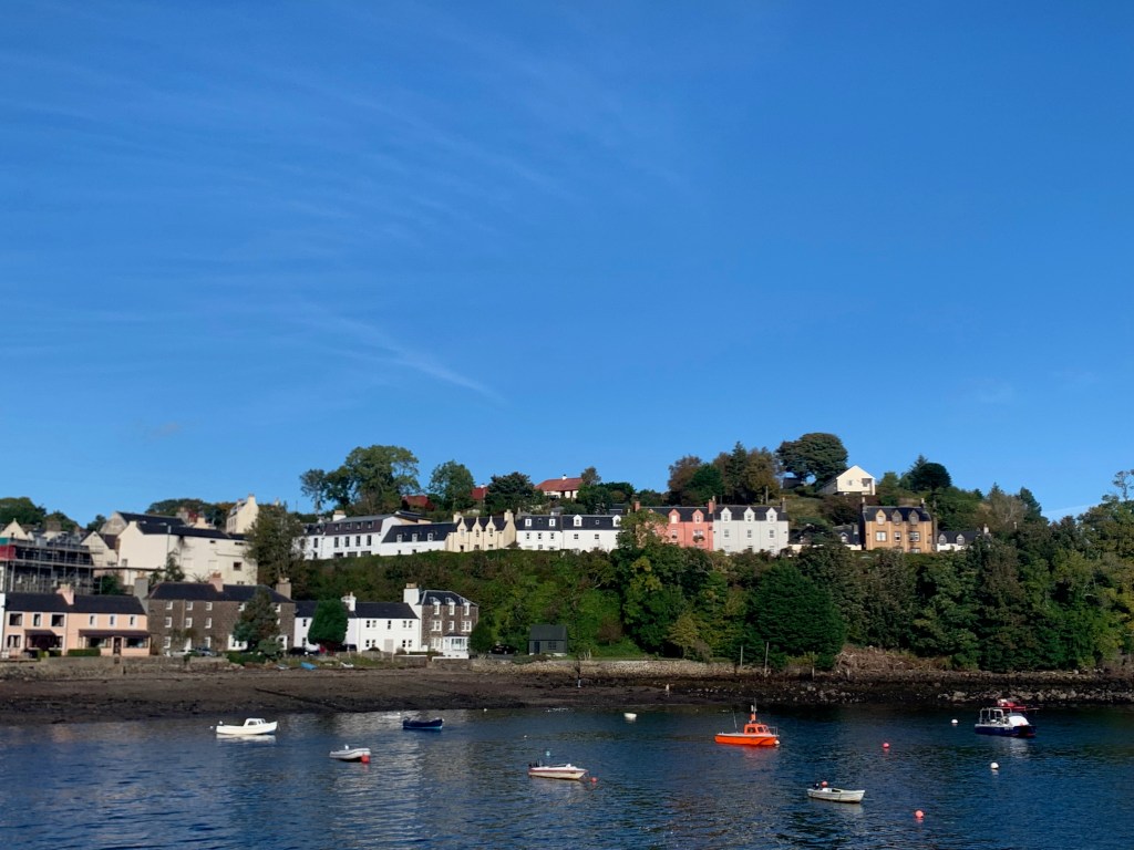
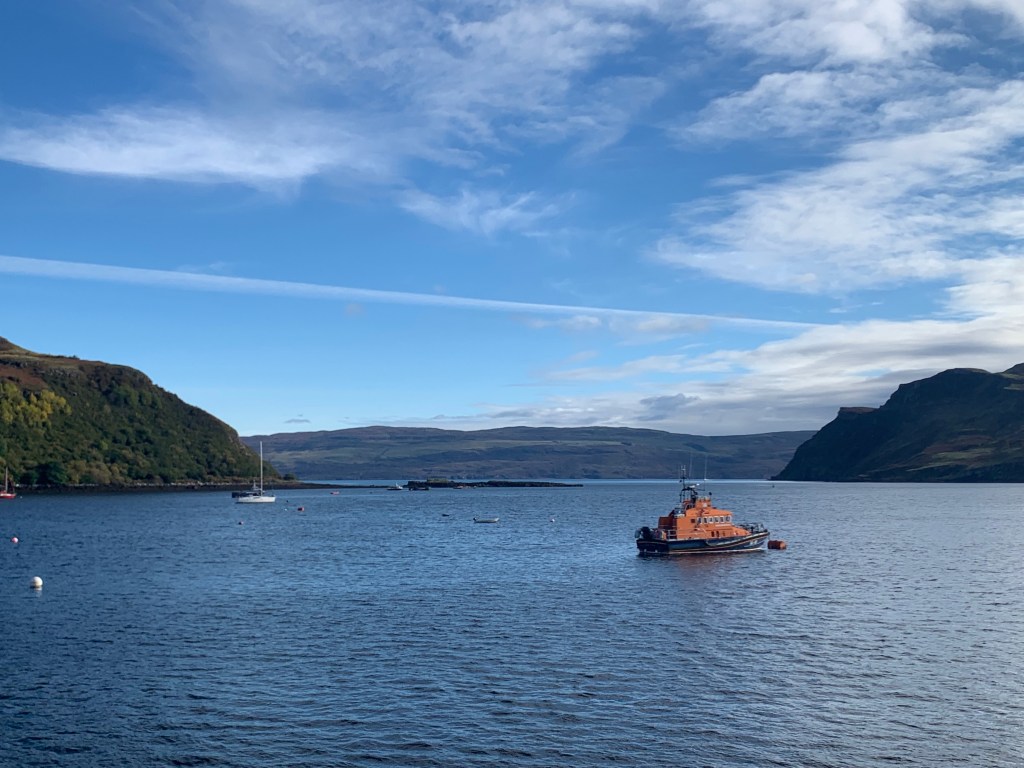
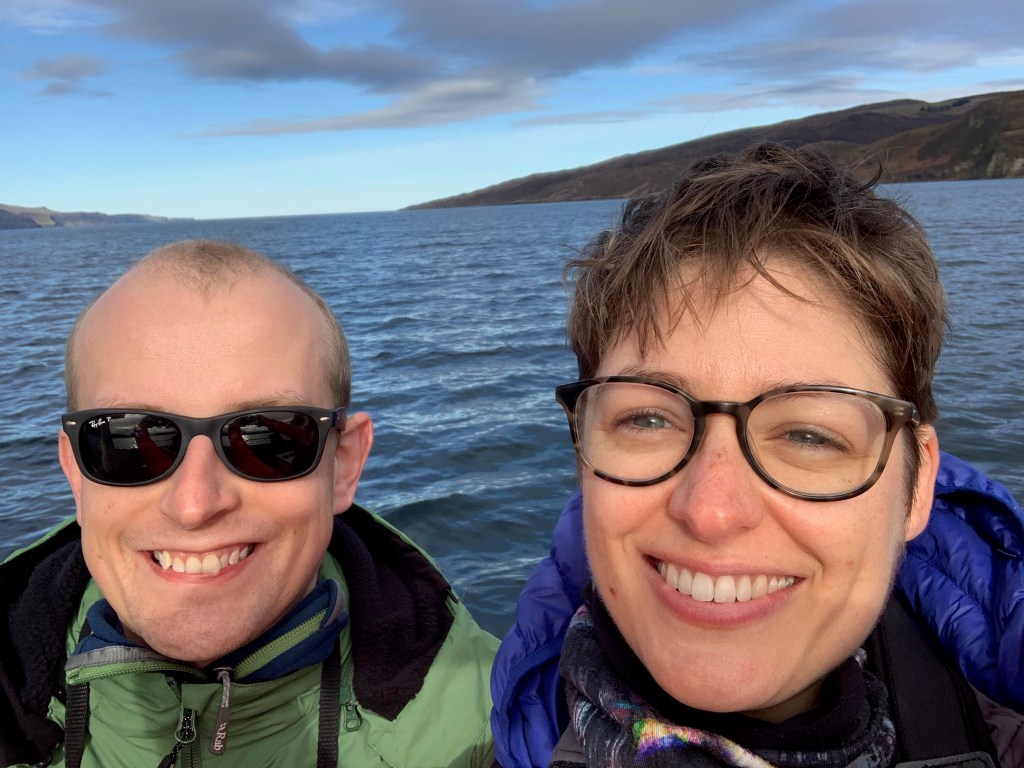
The next we headed up to Portree for a big breakfast and some proper coffee. The coffee was so good we got second ones to go, and wandered to the harbour. It was turning into a warm (for Scotland) sunny day – perfect opportunity for a boat trip!
Portree
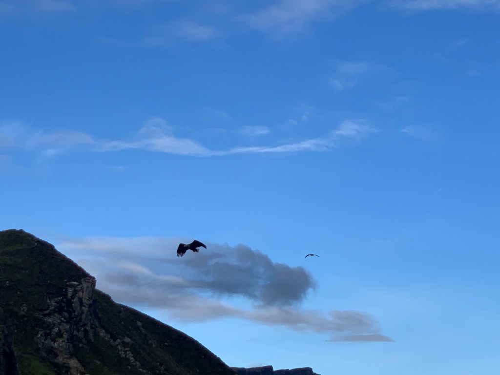
We got great views of a pair of sea eagles that nest in the area. Absolutely stunning creatures, with a massive 2m wingspan. One of them is an eagle that was reared and released from Fife, as part of a programme to reintroduce Sea Eagles to Scotland. She flew up to Skye upon her release and has established a territory there with a mate. She’s now affectionately known to the locals as Fifey. They’re obviously pretty tricky to capture on camera, but these were the best pics when one had a fly around bothered by a seagull.
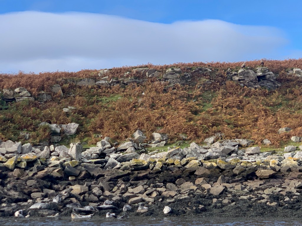
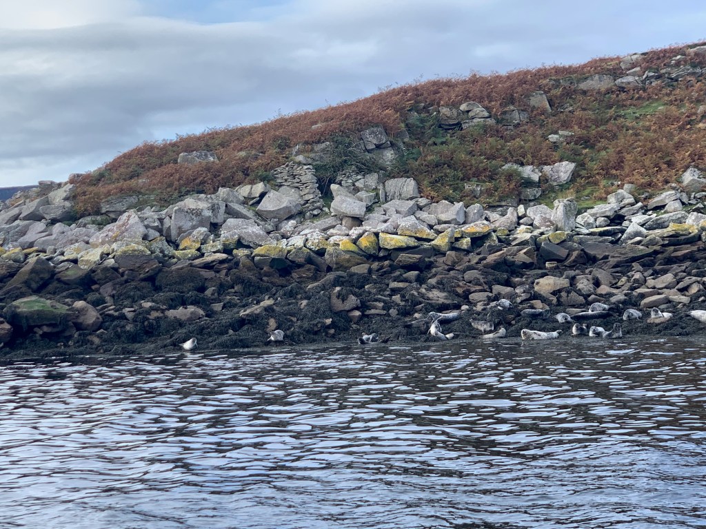
We headed across to Raasay to see the seal colony lazing around on the shore. Fifey followed us over to the seal colony and continued spying on us. If you look carefully you can spot her and her mate in the top right corner of the next photo.
I had yet another visitor! Tommy – a good friend and, importantly, current custodian of my cats – popped up for a long weekend. I was keen to head over to Torridon, taking advantage of Tommy not knowing what he was in for! His flight was delayed so Torridon was dark and shrouded in heavy mist when we got there, which made scoping out places to park for the night trickier. We opted for the car park at the bottom of Beinn Alligin which was out the way, and had plenty of space. We shared the car park with one parked car… and the mountain rescue team who were out on the mountain in shifts all night searching for the owner of said car. The morning shift of mountain rescuers found him, fine, wild camping. Not sure who called mountain rescue worried about him but couldn’t help but feel pretty bad for the rescue teams searching through the night in the mist for someone who was willingly camping out on the hill. D-:
Incidentally we consulted my munro books over breakfast at a cafe in Torridon and decided we would take on Beinn Alligin the next day, having already spent the night in the car park, and undeterred by mountain rescue’s night search for someone on the hill. Beinn Alligin is a ridge walk that includes two munros, and the “Horns of Alligin” which are three spiky rocky peaks to scramble over.
Anyway we didn’t have walking weather that day – the soggy mist was so thick that we couldn’t even see the hills – so we took a drive. My Uncle George had been telling me about Shieldaig, since the Woodland Trust owns and conserves the Ben Shieldaig estate. I can confirm Shieldaig is 100% charming. We spent some time chilling out there, and stocked up at the village shop. I was able fill up from the drinking water tap at the little harbour, and had fun leaving a donation in the box at the end of the hammerhead.
Looking across to Shieldaig island, in (you guessed it!) Loch Shieldaig
We drove on round the Applecross peninsula, and over Baelach na Ba, which has the steepest ascent of any road climb in the UK and is the third highest road in Scotland. It was a great drive, though we did hit some traffic.
The local boybandBealach na BaStunning evening in Lochcarron
We parked up for the night in a spot with a great view, but I forgot to take a picture of that because we were up and out the next morning and raring to get up the hills.
Torridon is home of spiky mountains, which seem to rise out of nowhere. They look like sleeping dragons. And because they rise out of nowhere, you’re climbing practically from sea level. The climb up the first munro of the day was a real slog. But when we got to the top it started snowing!! My first snow of the year!
Snow!! Looking across to the second munro and the Horns of Alligin The other side of that first cairn was this rocky cliff
The route led on to a scramble down to a ridge walk which felt like a proper ridge. This was really satisfying to walk.
Before long we were at the top of the second munro eating our second sandwiches. We got some fabulous views of the other spiky hills of Torridon.
At the top of the second munroGreat view of Liathach on the right – which some consider the trickiest 3000ft peak on the British mainland
The scramble over the Horns was a lot of fun. It warmed up a bit as we’d dropped a couple hundred metres in altitude, and the sun cam out along the way. We got some good views back to the munros we’d just added to the bag.
More snow!
Our path down from the shelf in the pic above was a steep scramble down almost 300m in elevation which involved several bum-slides (I’m not above it). We tucked into some celebratory tablet at the bottom – for the non-Scottish, tablet is like hard/crunchy fudge. We bounced down the path along the river back to the van on a high from looking back at the ridge we’d just conquered. Though I think for Tommy’s part it was a sugar high from the tablet.
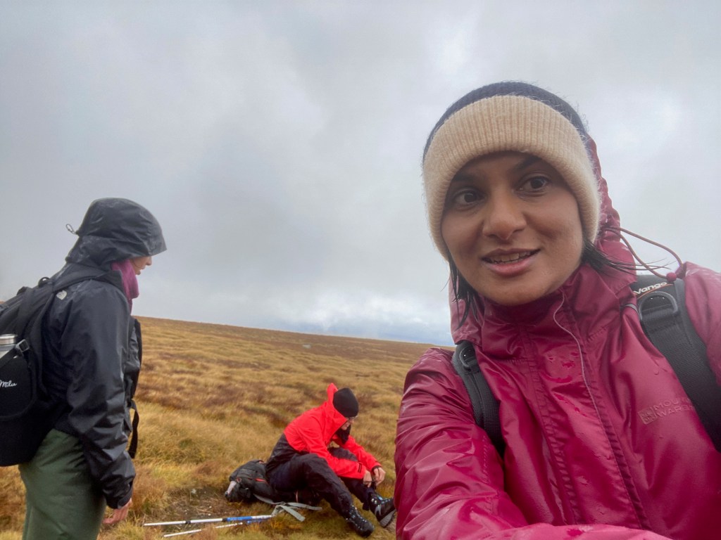
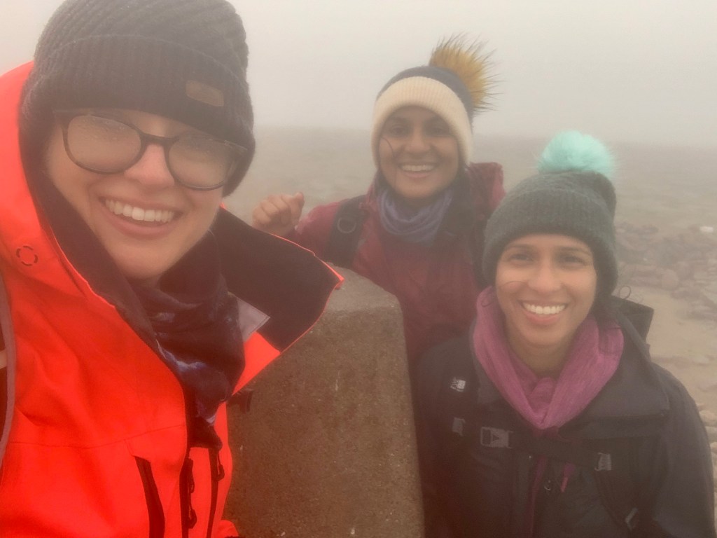
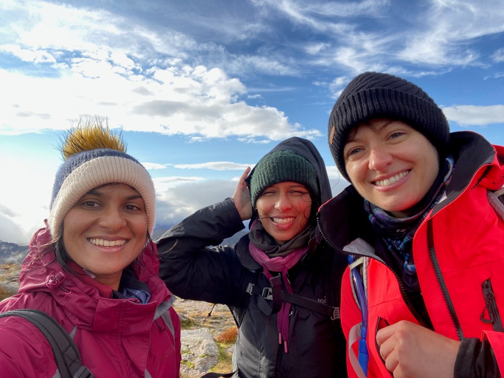
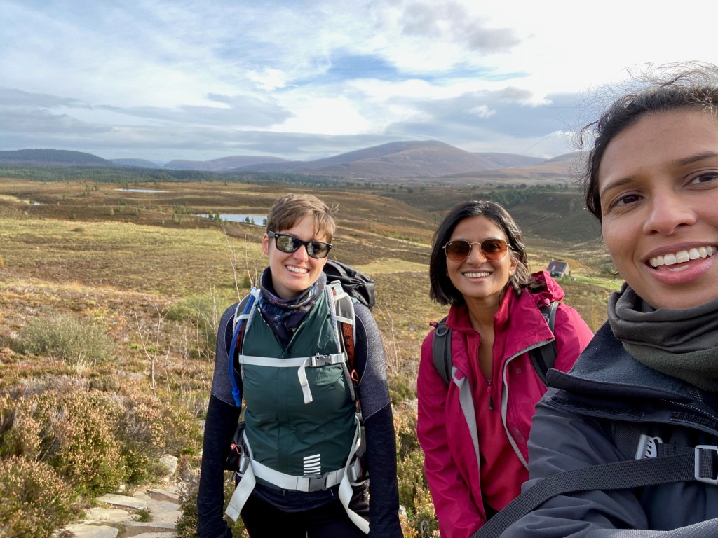
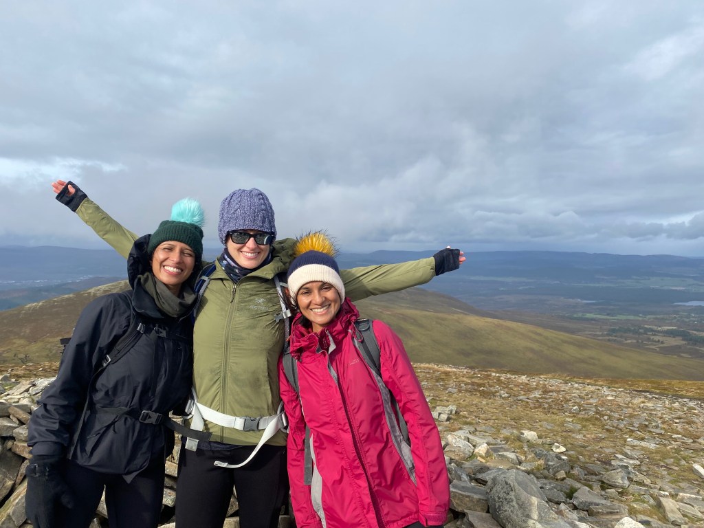
I had some more visitors! Tash and Udani popped up for a weekend. We decided to base ourselves in Aviemore and Tash booked us a great B&B – the Cairngorm Guest House – so I also got a weekend of luxury in our en suite room. Showers whenever you want them – the high life!!
We eased into the weekend with a walk along the shore of Loch an Eilean, hopping on stepping stones in the loch, and dipping our feet in the water.
Obviously had to get on top of the big rock
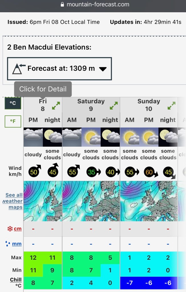
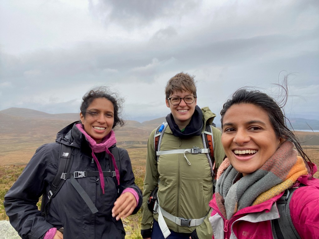
But the main walking event was our plan to conquer Ben Macdui and Cairngorm on the Saturday. Ben Macdui is the second highest mountain in Scotland at 1309m… but we did have a bit of a leg up since we started at the Cairngorm ski centre car park which sits at elevation of 635m. The forecast was for a windy, wet and misty mess in the morning, but some clouds/some sun in the afternoon. So we set off wrapped up but full of hope that the weather would get better as we got up the hill. I actually have evidence of the weather forecast lies this time since I screenshotted it the night before. See for yourself.
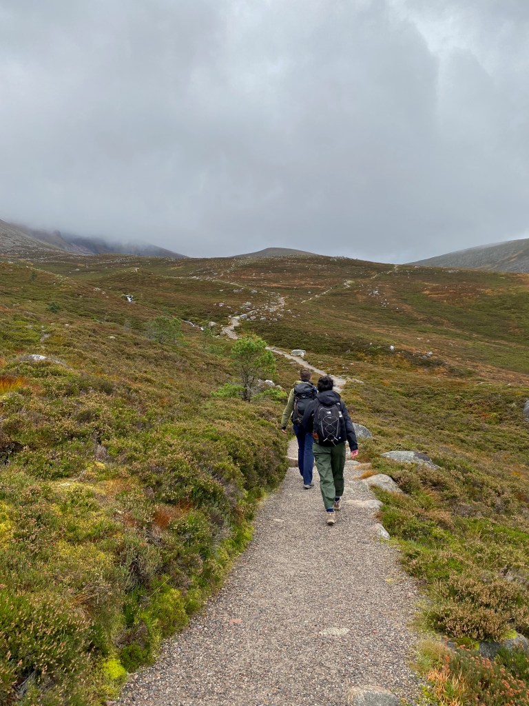
We were mis-sold the promise of some sun and low winds in the afternoonRaring to go. Those smiles aren’t forced at all.It was nice before we walked into the mist
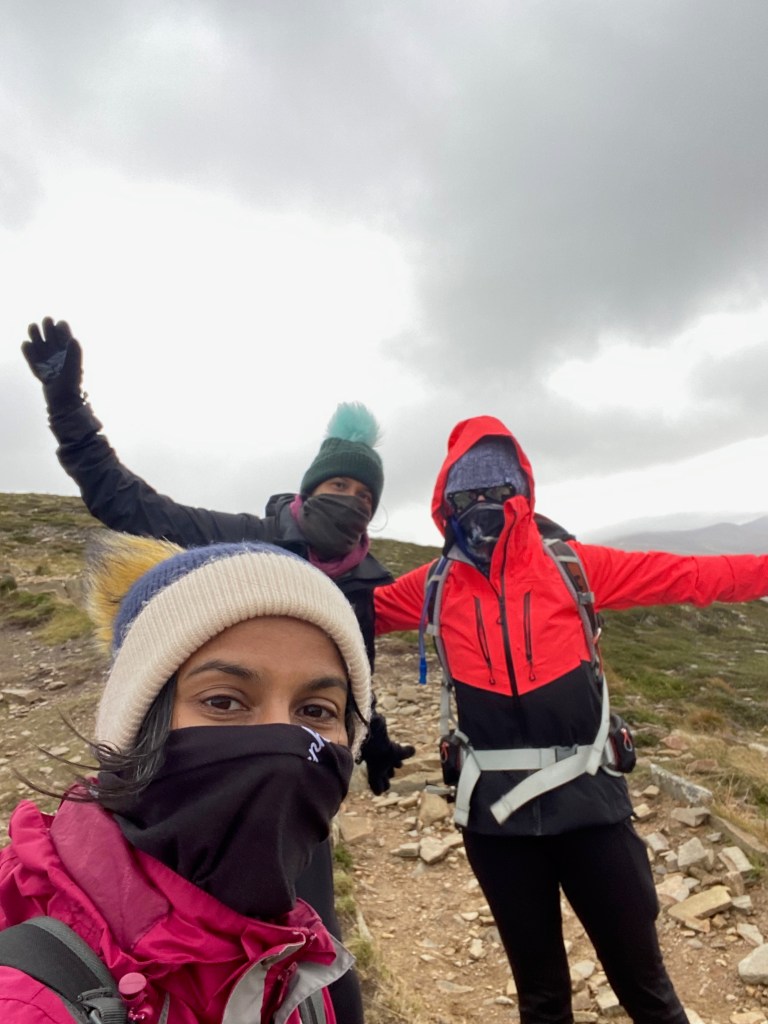
As usual, the weather gave me the finger. After about half an hour we were essentially walking in a rain cloud which was being whipped around us at high speed. It didn’t feel so much like it was raining, more like it was biting any exposed flesh. “Everyone having a good time?!”.
Me finally accepting the “water resistant” trousers weren’t putting up much resistance and it was time for the waterproof troosThat is in fact Tash, not the legendary Grey Man of Ben Macdui
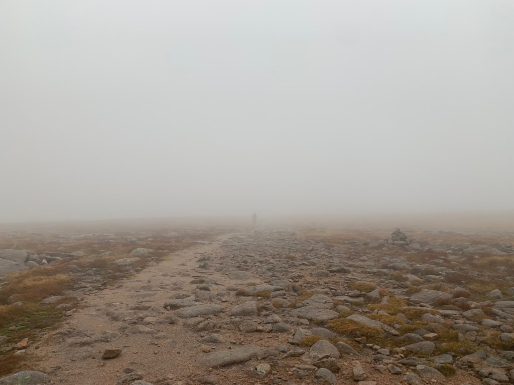
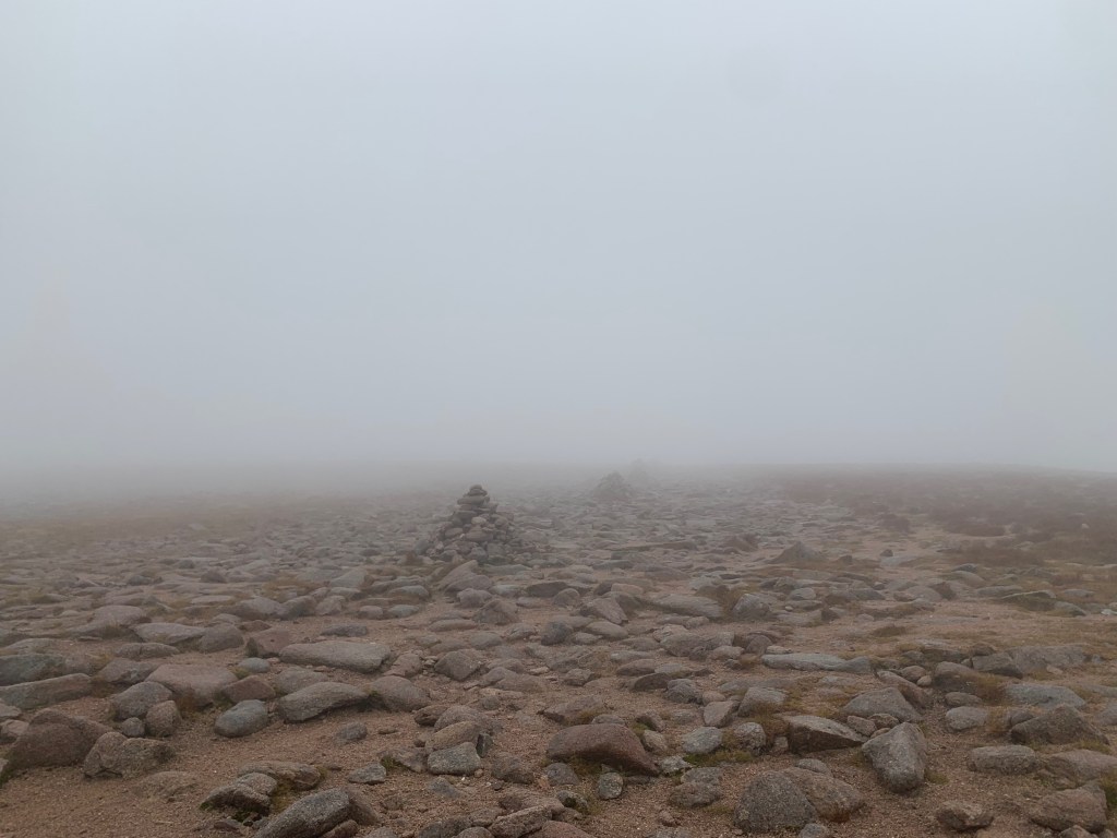
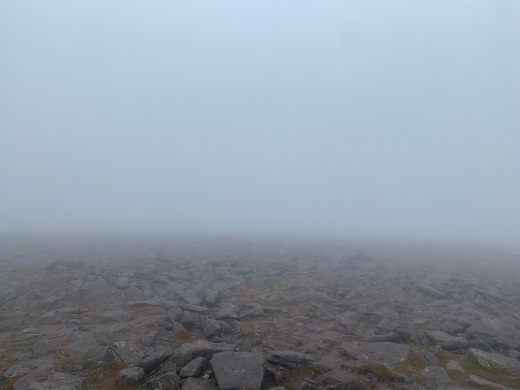
It took some stubbornness and some haribo to keep us going and get us up through the increasingly strong winds to the top. And the views at the top of Ben Macdui left everything to the imagination. Helpfully there was a marker pointing out what we *should* have been able to see in all directions to rub it in.
I’m aware this looks nothing like me, but I promise I was thereAnd againSo helpfulWhat a view Ladies and Gentlemen
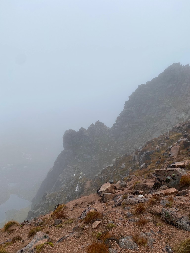
We huddled down into a little shelter and ate our filled rolls before wrestling our hands back into our soaking gloves. (Waterproof gloves made it to the top of my shopping list after this walk). The walk took us round the plateau, along the top of some impressive corries with some spectacular rock formations and (presumably) spectacular views we couldn’t see. Anyway we trudged on, particularly because the shortest route back was now up and over Cairn Gorm rather than retracing our steps.
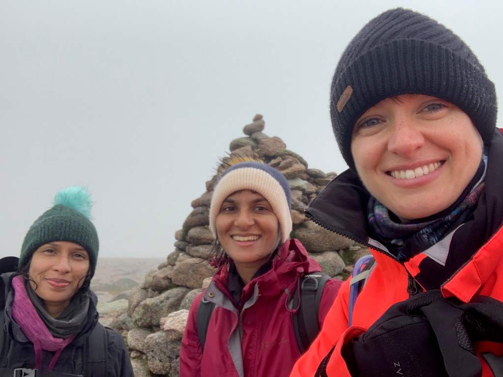
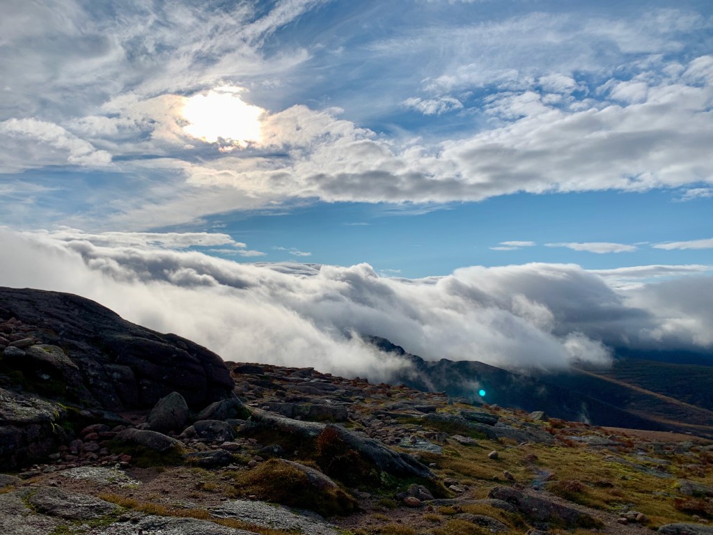
We followed the edge of the corries round, veering off our route slightly because the massive cairn up ahead looked really cool. My map tells me this was Fiacaill a’ Choire Chais but pease don’t ask me to say that out loud. And just as we got there… the clouds parted and gave us a view!! Surprise!! We were disproportionately excited to see this after the weather we’d walked through, and taking snap after snap on our phones with our cold fingers.
What a cool cairn!Bits of view!!
Funnily enough when the rain eased off, the air temperature wasn’t all that cold. So when we got to the top of Cairn Gorm a short while later and the sun came out.. it was almost warm?! The warmish breeze did a good job of drying off a fair bit of our gear too – bit like walking around in a tepid tumbledryer. Though without the tumble I suppose. Anyway the sun came out and Cairngorm opened up for us to see!!!
The cairn of Cairn Gorm!!Words cannot describe the level of excitement this drop of sun broughtMy best pic of the day
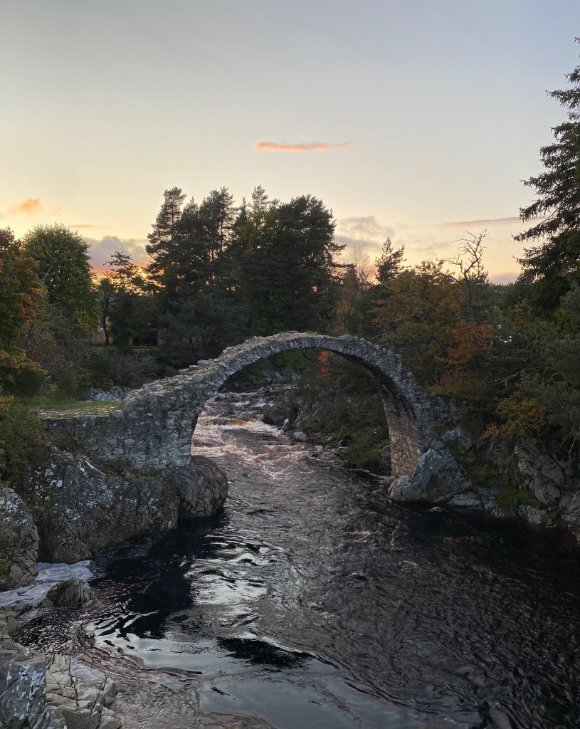
Thank goodness for the B&B – a drying room and a hot shower sorted us out before dinner. We headed up to Carrbridge to eat at the Cairn Hotel – I had a steak and craft ale pie – 10/10 highly recommend. The bridge at Carrbridge is pretty special too.
The bridge at Carrbridge is most definitely not for cars
The next day we woke up to sunnier skies and took a walk up past Lochan Uaine – the green loch – and up and over Meall a’ Bhuachaille. The sunny day lured us up to a very windy top.
What a beautyLochan UaineSunnies on!A very nice cairn indeedI’m aware my tiny head looks very silly in this hat, but my ears were Roasty ToastyI have no caption for this
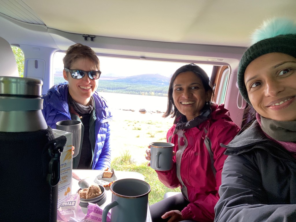
Once we got back down we pulled up along the edge of Loch Morlich and brewed up some tea so Tash and Udani could have a tiny taste of vanlife. And Udani got a masterclass in selfie taking.
NopeNot quiteOh dear godNearlyThat’ll doLoch Morlich putting on a lovely showAnd changing its mind literally 3 minutes laterAny spare biscuits for a small one?
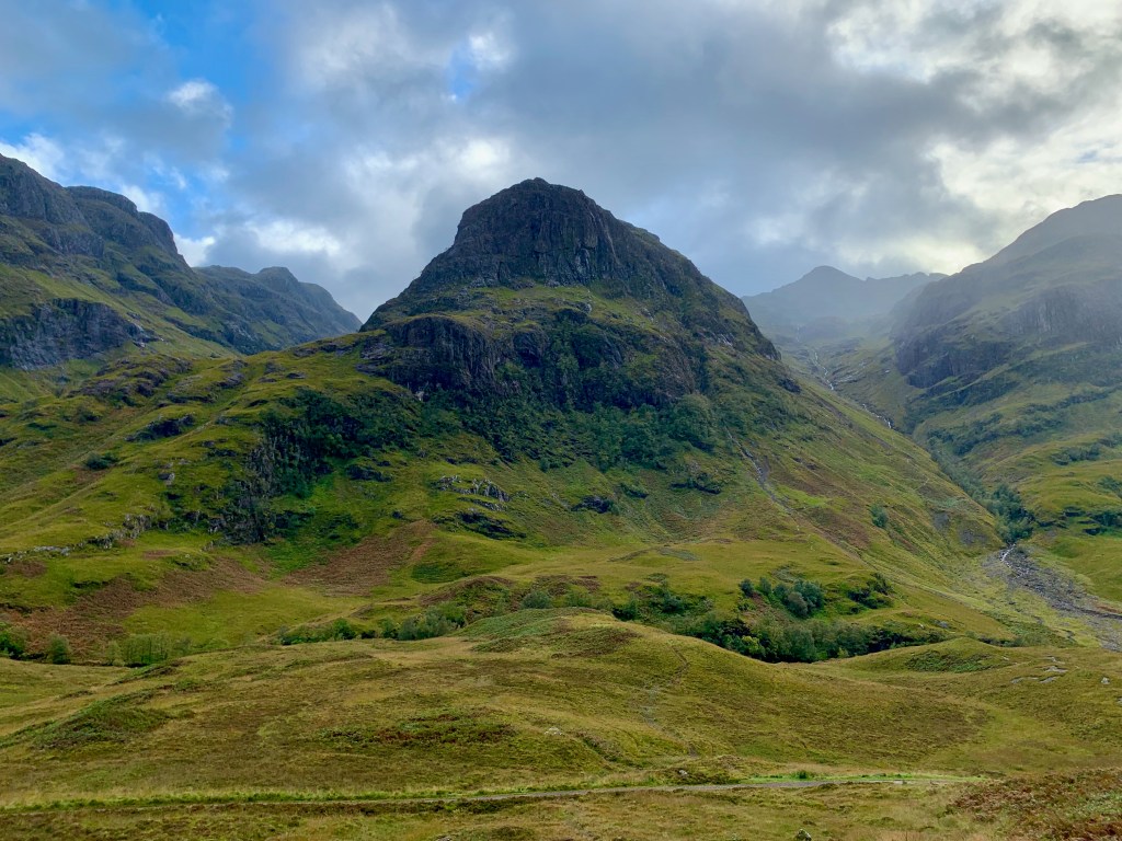
[Warning: this walk was a big favourite – so this post will descend into picture after picture of views in Glencoe]
Glencoe is an amazing place. It’s one of Scotland’s most dramatic glens, both visually and in terms of its history. It was carved by glaciers which chiselled the ground and left behind these monstrous rocky behemoths of mountains. The way the sharp black rock juts out of the lush green topping feels to me like the bones sticking out of the earth, showing you what the mountains are made of. The local climate is typically misty and rainy so the drama is added to by waterfalls and deep corries that scar the landscape.
Glencoe’s history is equally dramatic and bloody. Whether or not you’ve heard of the Massacre of Glencoe, you’re probably aware of the Red Wedding in Game of Thrones which it inspired. For those that don’t know this chapter of Scottish history; in a nutshell…. In 1691, clans were ordered to pledge allegience to King William the Third by 1 January 1692. Maclain of the MacDonald clan in Glencoe had left it late, but travelled to Fort William to sign. Except, when he got there, there was no magistrate to receive his oath and he was told he needed to travel to Inveraray to sign the oath – a further 40 or so miles as the crow flies. He signed the oath 6 days late and thought that was that. Butttt… the powers decided to punish Maclain and make an example of the MacDonalds. The injustice!!!
The scandal is more to do with how the massacre was carried out. Campbell of Glenlyon took over 120 soldiers to visit the MacDonalds in Glencoe. The troops accepted the hospitality of the MacDonalds for almost two weeks – eating their food and drinking their wine. In the early morning of 13 February, the soldiers led by Campbell rose from their beds and slaughtered their hosts in the night. They brutally killed an estimated 38 including a few women and children, while the fate of others fled into the snowy hills is unknown.
The reason for the history lesson is I think places often wear their history. I’ve always felt Glencoe is an eerie place, with the history of the massacre hanging over the Glen with a heavy atmosphere. The dramatic hills are like a giant haunted house, and the low hanging mist patrolling through the valleys and corries like the ghosts of the massacred.
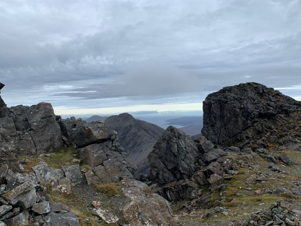
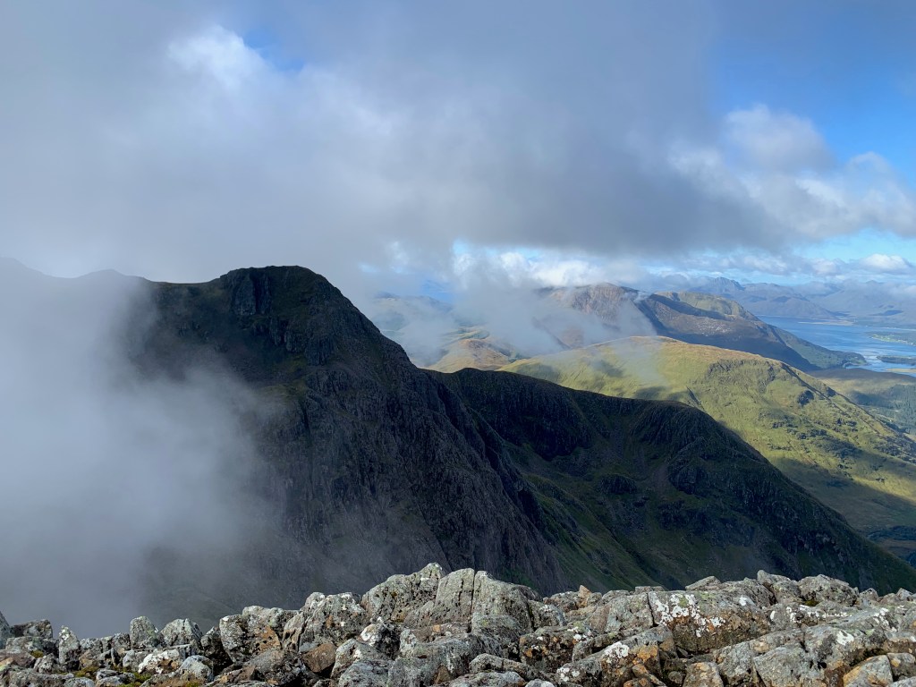
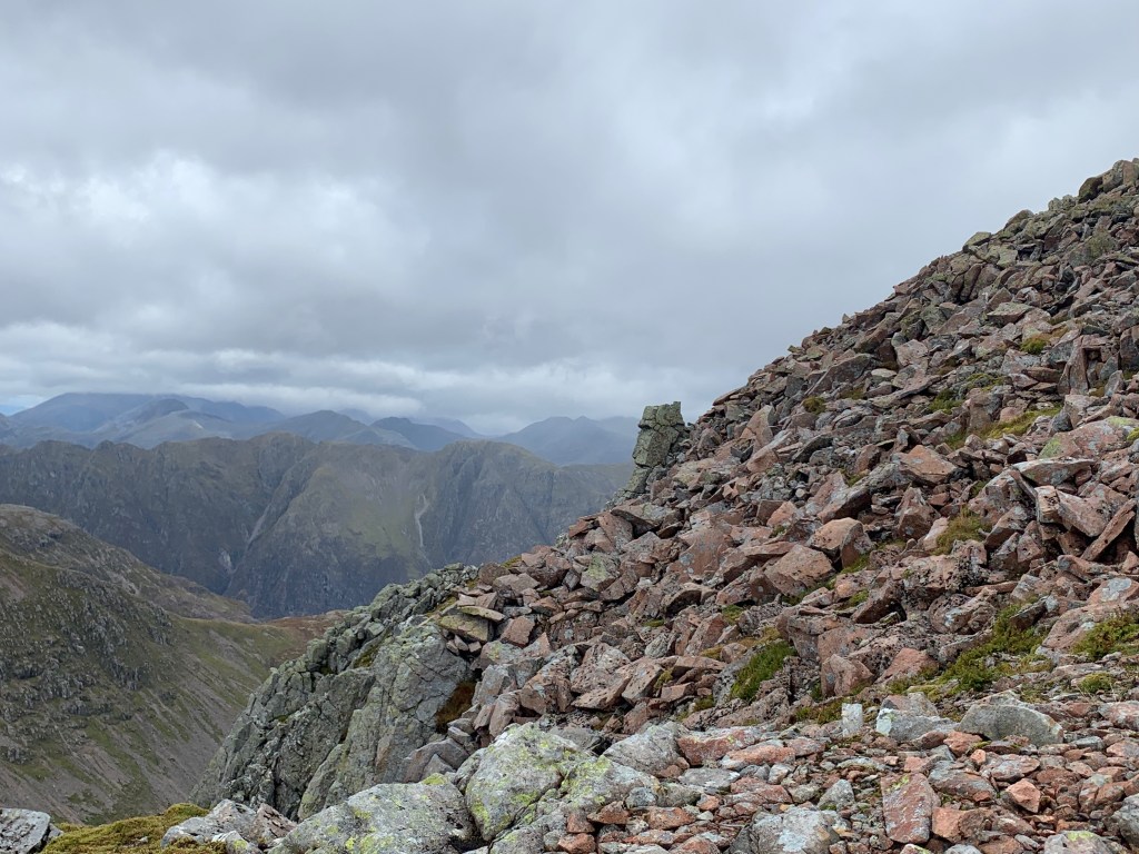
These mountains left me awestruck when I visited here as a child. So the munros here are high up my list of hills I’m excited to climb and explore. Bidean nam Bian is the highest peak in Argyll, but the peak is hidden from sight from the road, obscured by the three sisters of Glencoe – three peaks on the shoulders of Bidean nam Bian.
The three sisters
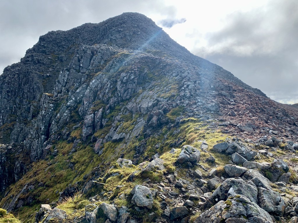
My route up was between two of the sisters – up the corrie in the left of the photo above. A steep path taking me up up alongside the noisy water on its way down. At the top of the corrie I headed left to pick up the ridge of Stob Coire nan Lochan – which is high enough to be a munro, but not distinct enough from Bidean nam Bian to be classed as a munro in its own right. There were some lovely lochans at the top of the corrie – which is called Coire nan Lochan after all – which the light was catching beautifully.
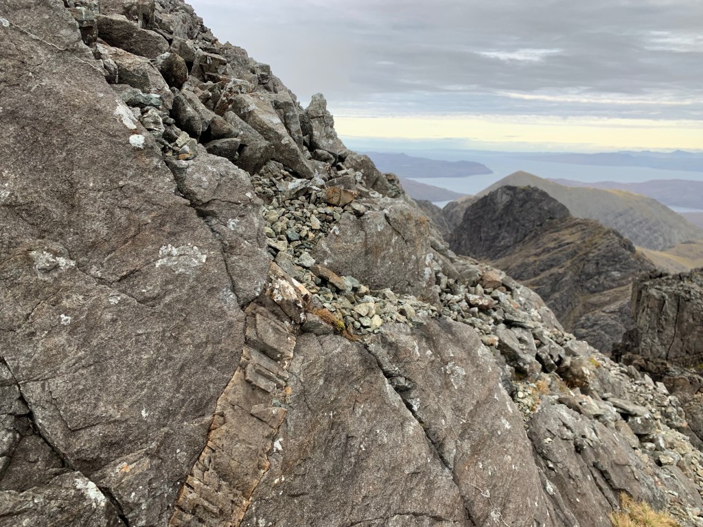
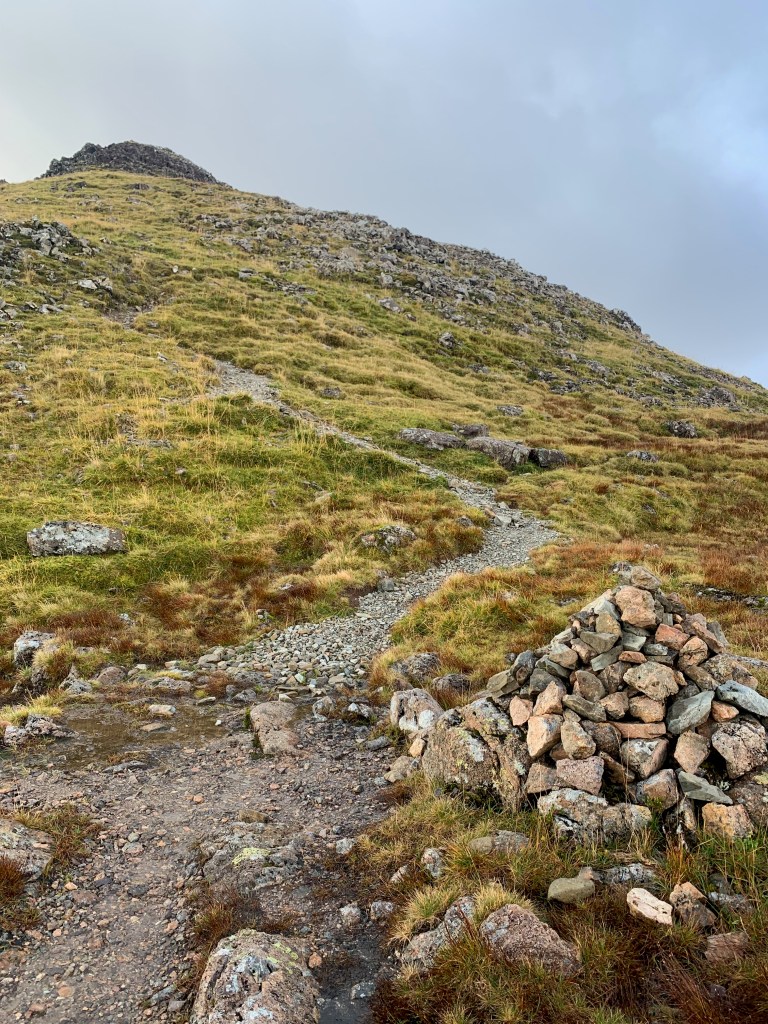
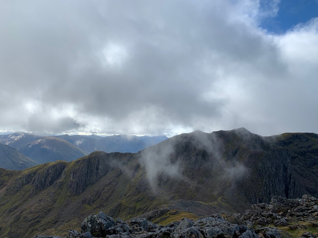
A cairn marked the start of the ridge up to Stob Coire nan Lochan. I will say, when you have climbed up above 900metres already – pretty much at the height of the smaller munros – and you reach the cairn marking the start of the path…it can be a little dispiriting!! But Stob Coire nan Lochan is fantastically rocky and spiky, and the route up is over an interesting boulderfield so I wasn’t complaining. Also the sun came out.
Standby for many pictures:
Stob Coire nan LochanThe startLooking over to Loch LinnheObligatory cairn pic even tho its a non-munro
The mist was still stalking around between the peaks:
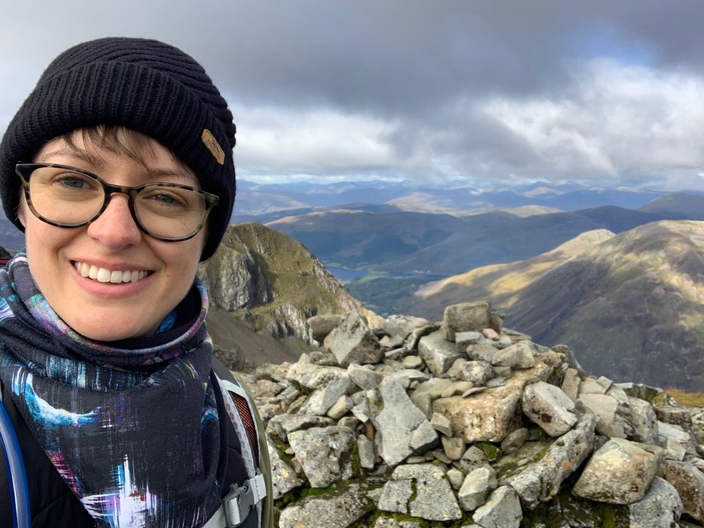
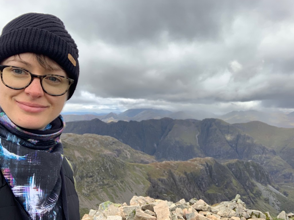
From here you head down to the bealach and then up to Bidean’s peak. I took the scrambley path, and found myself climbing pretty vertically up the rock and grass. At one point someone appeared on the left and I said “where did you come from?” – he asked me the same thing!! Turns out there was a path on the other side which I had missed, as had the couple in front of me and the 5 guys behind me. Still, it was a fun wee scramble. I switched over to the path for the last stretch up to the summit – which was a calf-bustingly steep hike up scree, then over the boulders. The views from the top were enormous. Food for the eyes in all directions.
WowWowWowWow
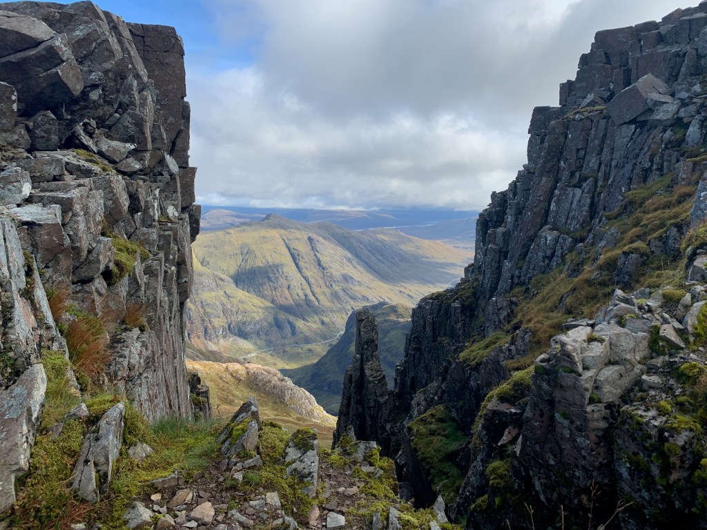
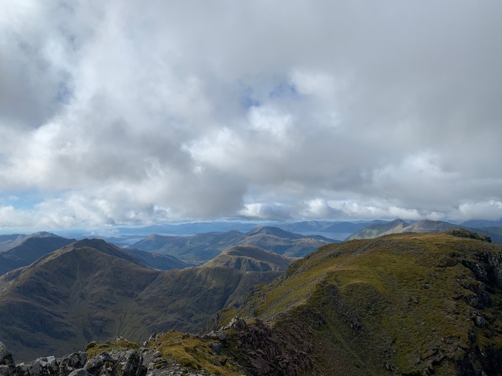
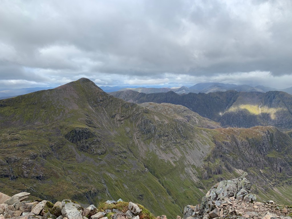
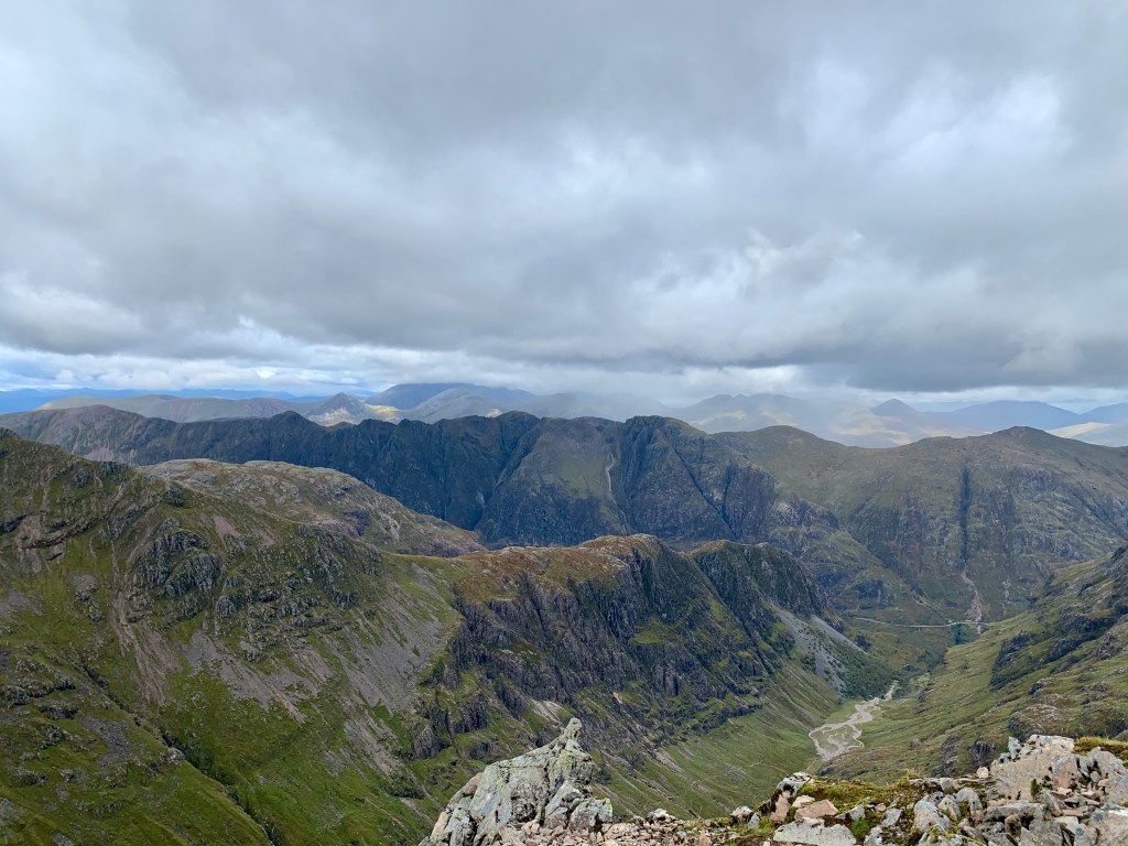
After lingering on Bidean’s peak as long as my cold ears would allow, I headed on to walk the ridge over to my second munro of the day – Stob Coire Screamhach. The view from here was equally wowing.
The King of Stob Coire ScreamhachThe Aonach Eagach ridge – saving that for another day!!
The route back down is through the lost valley, where the MacDonalds used to hide cattle they had rustled from nearby clans! The route down into the lost valley was down a steep and badly eroded scree chute, which was an interesting ride. The walk down from the lost valley back to the start point is through a beautiful gorge full of little waterfalls and clear rushing water.
The lost valley plateau
I was knackered after this walk – probably not just from the walking (it was only about 10 miles) but also from all the excitement and not drinking enough water. I was well in need of a chill out the next day, so imagine my disappointment when the weather the following day brought this for me to look up at enviably from ground level:
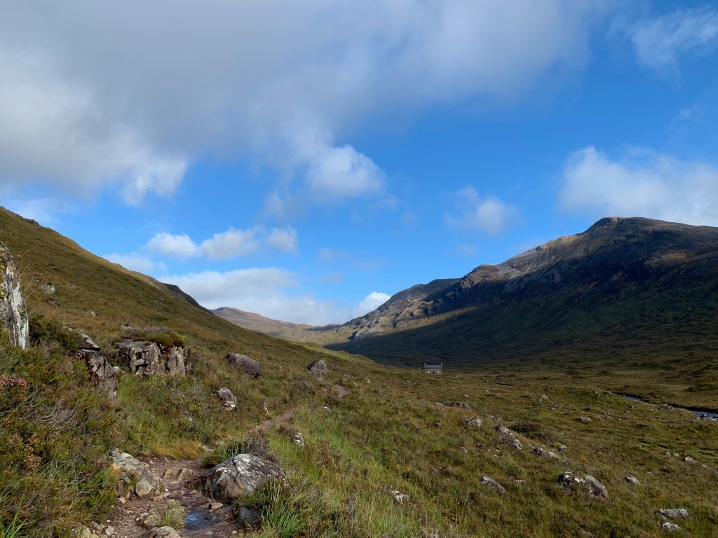
I fancied seeing some more pointy mountainy hills, so I shot over to the West Coast again, aiming towards Torridon. From a quick study of my books these hills involve more walking on scree and scrambling along a sizeable drop. Because I’m still a big scaredy cat (for now?), I opted for Maol Chean-Dearg, one of the easier walks in the area, to get a feel for it.
I woke up to stunning views of Loch Carron with mist hanging low above the water. Lovely start to the day.
And the forecast looked good! The walk through the glen to the hill was wrapped in lovely sunshine broken with fluffy clouds sailing around, and the surrounding hills were food for the eyes. There was an eagle circling the top of Meall nan Ceapairean (a smaller hill) which I was walking around. My brain could not compute the enormous breadth of its wingspan – I was too dumbstruck to get a photo. Please use your imagination to paste a picture of a Golden Eagle in flight near the top of the hill in this pic. Hopefully it won’t be the last one I see.
Please imagine the eagle circling the topSpot the bothy
I was getting excited about finally reaching a munro summit in sunshine. It seemed to be turning into a seriously beautiful day. The route up was over graphite scree, which was easier going than I expected. This led on to a massive sandstone boulderfield up the last section to the summit, which was a fun hop scotch over the rocks with some scrambling. The name Maol Chean-Dearg means “bald red head” named after the mound of sandstone boulders at the top.
As I got to the top.. you guessed it… the mist came down. Ah Scotland, will you cut that out already?! I got some quick snaps where the mist was lighter, though there should have been views all around to stunning hills including up to Torridon to the North.
As per usual
I got chatting to a fellow walker at the top – Alison – who was having a quick dash up this hill to make the most of the weather. We walked the return together having some great hill conversations which cover as much ground as our feet.
We gave up waiting for the mist to move on, and started to make our way back down the boulderfield. Just as we started the hop scotch down over the boulders…along came the rain and a spot of light hail! As if the mountain was saying “and stay ooot!!”. Of course once we were *just* far enough down the hill that I wouldn’t be going back up, we looked back and naturally the top was once again covered in sun and blue skies. Gaah. Trolled by the mountain. At least at a couple of points on the route down I got a distant glimpse of the hills of Torridon which I’d hoped to see from the top – a teaser for another day.
Torridon in the distanceAn Ruadh-Stac
The route through the valley on this walk passes the Clach nan Con-fionn, which is a giant stone that looks like a fancy art installation belonging in a trendy wine bar. Legend has it the stone was used by the giant, Fionn, to tether his hunting dogs. I was impressed by this on the walk in. But on the walk out it looked more like the valley giving us the finger – clearly colluding with the weather!!
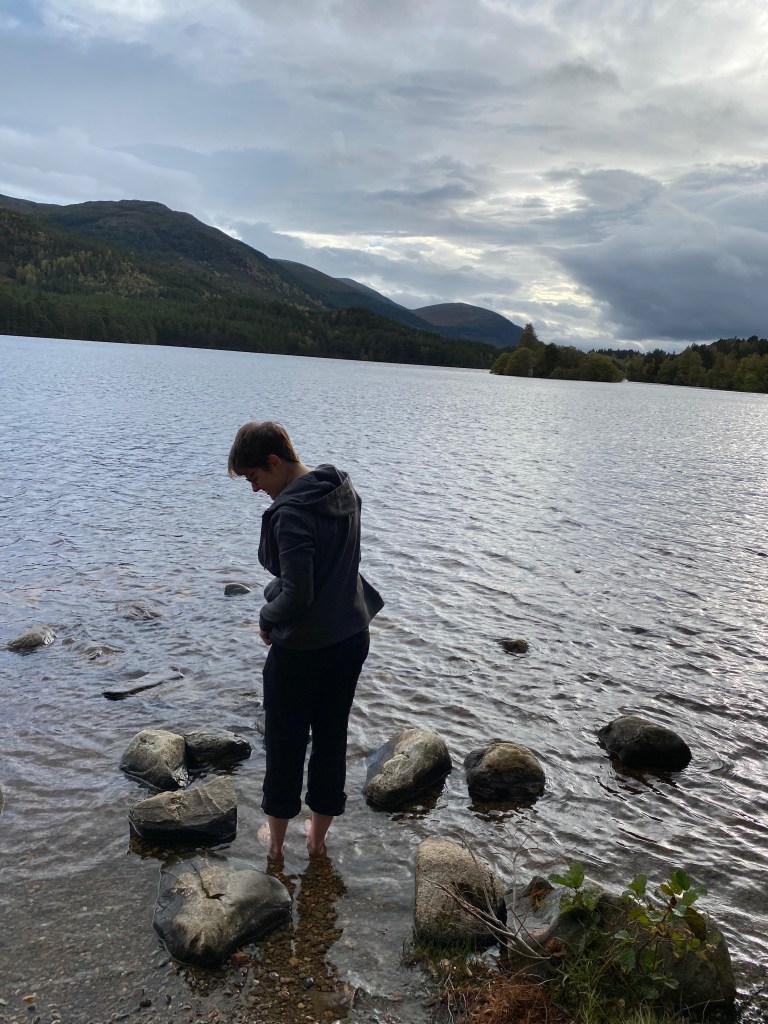
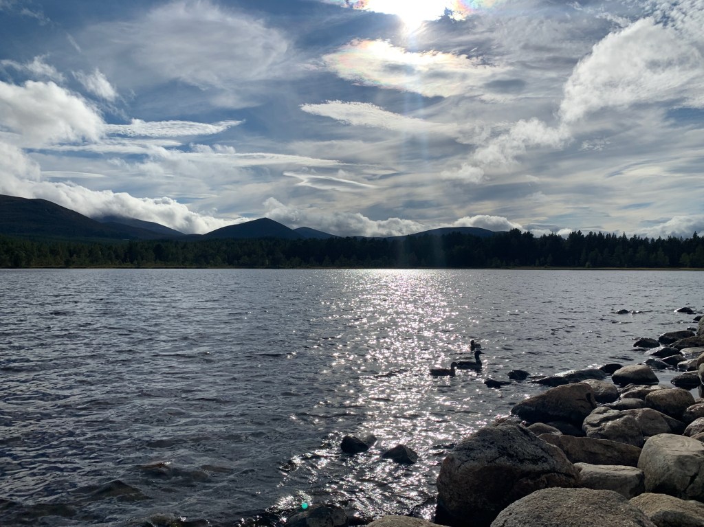
Aviemore had fantastic weather earlier this week (the nice weather seems to show up on my rest days when I’m not out walking). I pootled on down to Loch Morlich intending to update my blog, read some books, do some walk planning etc (far too many ideas for how to spend a couple of hours) but did none of the above because the sun was shining and it was warm. Like really warm. I went and paddled my feet into the loch, and the water didn’t even feel cold, it was calling me in. Quick change into the bikini and in I went almost up to the waist. This was as far as I got this time because the slippery rocks underfoot meant to go any further required a full commitment to swimming which I wasn’t prepared to make.
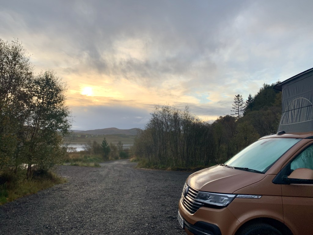
I camped up at Castle Roy in Nethy Bridge, where they welcome a couple of campervanners in their car park each night. Richard, who was involved in conservation of the castle, was happy to tell me about their work, and that this among the oldest castles in Scotland. Importantly, Richard introduced me to Murdo, their resident Heilan’ Coo, who was very happy to receive a scratch behind the ear.
The light that I woke up to the next morning was stunning. Murdo was happy to pose for another photoshoot given the good lighting.
Castle RoyCastle Roy as modelled by Murdo
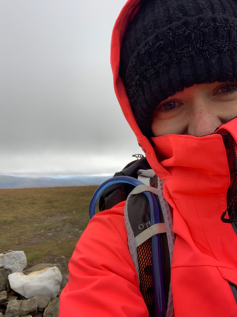
Sadly, though, I wasn’t planning to walk in the sunshine in Nethy Bridge. The forecast across the Cairngorms was for very strong winds, ranging upwards of 50mph. I decided to try Bynack More, a munro at the north end of the Cairngorm plateau, where the wind was forecast to be marginally more reasonable.
The route up Bynack More was a long walk round a warm, sunny and sheltered valley, where I was shedding layers as I went. As the munro eventually came into view, the wind ominously made itself felt. The path comes up to a mid-level plateau for the walk up to the mountain, and the strength of the wind here was making me slightly nervous about being blown off the top.
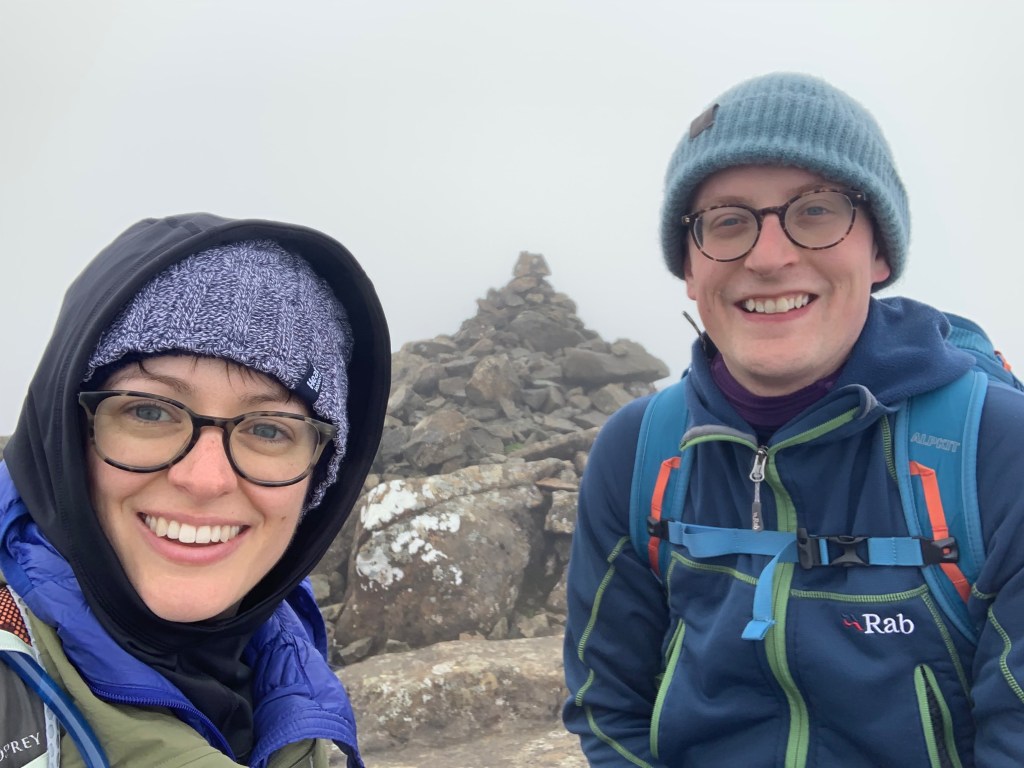
But I have to say Bynack More was a particularly chatty hill. I had a long chat with a couple on bikes who had bravely cycled up to the plateau. One of them had grown up in Glenmore – at the hart of the Cairngorms – of which I was supremely jealous. I also met two guys who were coming off the hill – they reassured me that the wind was fine until the last 100 metres, when it would be head down and battle through it. Thankfully they were right – once I got to bottom of the hill at the end of the plateau, the mountain provided almost complete shelter for the climb, but this was the calm before the storm at the top where you had to win a real fight with the wind to get rewarded with the cairn. The summit was up in the cloud again so its another cairn-that-could-be-anywhere pic (sorry!). The wind gave me a new hair do for this one.
I met some more chatty people on the way down – there was Stan and Jude from Dingwall, who kindly offered to let me stop by if I was in the area. At the bottom I met the three local ladies who had waved at me across the windy top. The heartily recommended living in Aviemore, and told me about the local nightlife and “The Vault” – Aviemore’s excellent goodbad nightclub.
Several people had also recommended another hill – Meall a’ Bhuachaille – which I could go up and over on my return route. I hadn’t been planning on this, but the weather was so lovely in the valley I had already practically forgotten the wind, and wasn’t ready to finish walking. Up I went, a steep satisfying climb, and into the wind once more! Fortunately this cairn provided a bit more shelter for a quick stop.
Thoroughly re-styled courtesy of the wind
Back at the bottom in Glenmore the last of the sun was shining on Loch Morlich, while I cooked up some dinner.
I popped along that evening to visit my Uncle George, who was staying at a friend’s chalet nearby, and who I hadn’t seen in probably over 2 years. It was fantastic to catch up, and to gather more tips and suggestions on where I could head next. On our drives into Aviemore for some shopping and a spot of dinner I was inducted to an important family tradition. A local hotel which George had stayed at years ago with a friend had thoroughly snubbed them on account of not liking their employer. Henceforce, everytime George drives past said hotel he ceremoniously rolls down the window, toots the horn a good few times and shouts (outside voices now please) “GET IT UP YE!!!”. I gave it a try – I can confirm this is good for the soul.
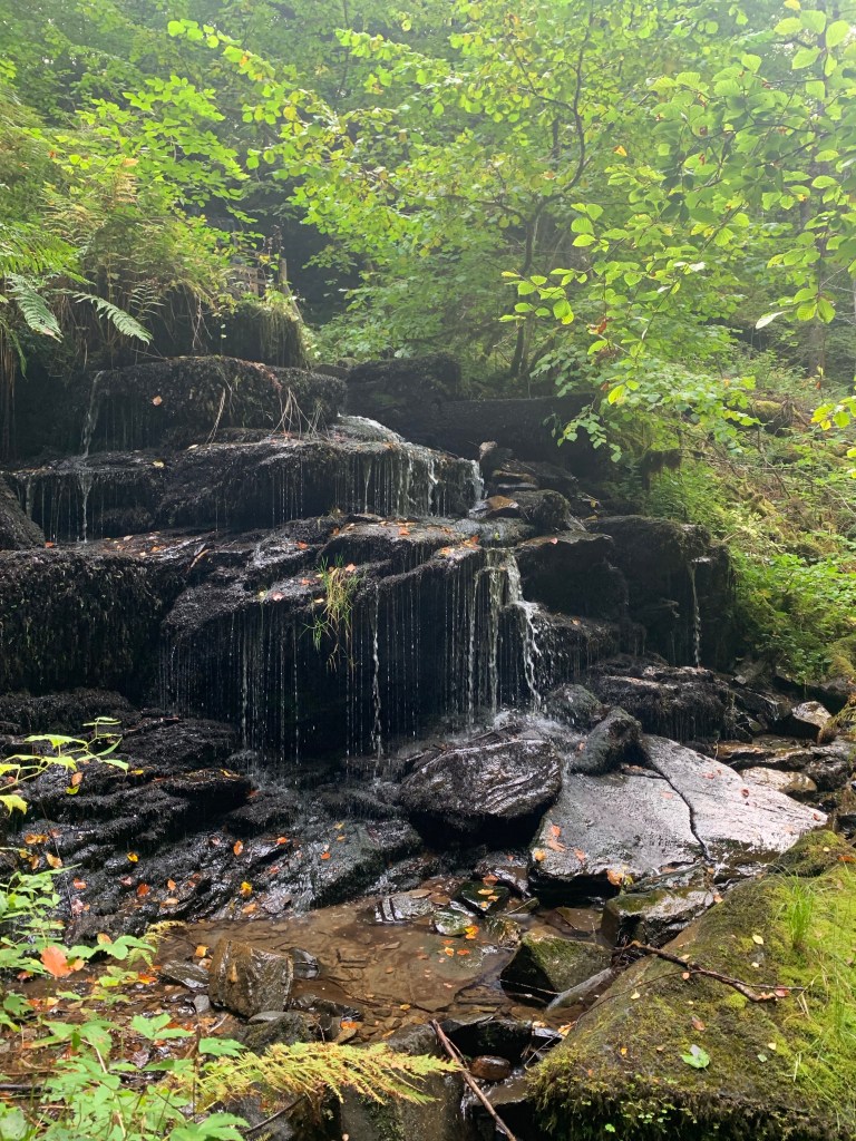
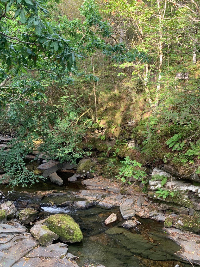
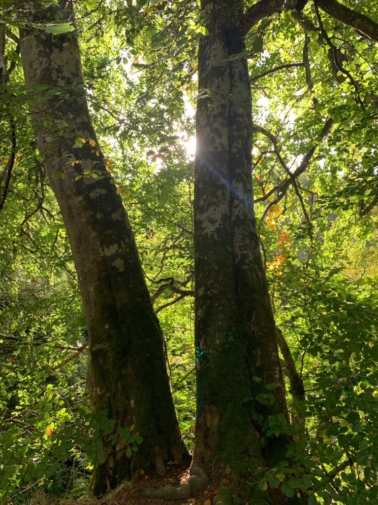
I awarded myself with not one, but two!, rest days after the 4-in-1 munro bonanza. I spent them kicking around Aberfeldy, which is where my grandparents used to live so is another favourite place. I took myself out for a fancy lunch with a glass of wine, bought more-books-than-I-have-space-for from the bookshop in the Watermill, and walked the Birks which is a walk up round a gorge with waterfalls – one of my favourite walks in Scotland.
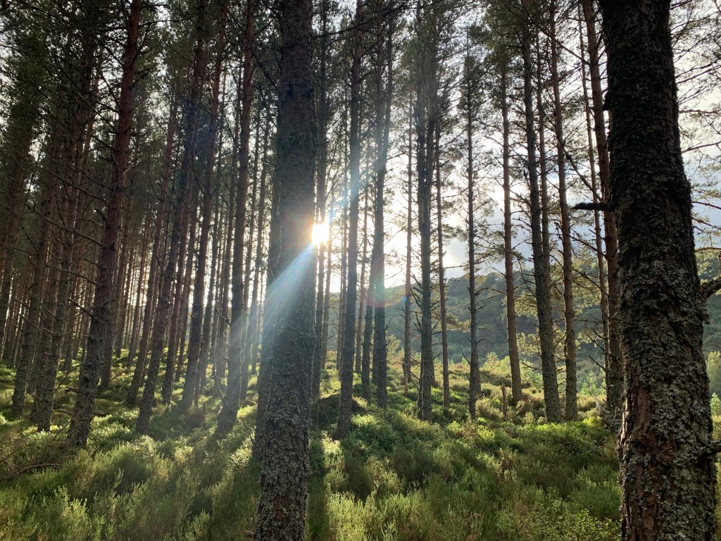
I headed up in the direction of the Cairngorms, and decided to give Mullach Clach a’Bhlair a whirl. The route up this munro sits at the end of a long walk down Glen Feshie. And oh wow what a brilliant Glen to walk down. Glen Feshie is a rewilding success story, with the red deer population having been reduced to allow the ancient pine Caledonian Forest to regenerate. Look at the yummy forest:
The sun showed up to join my for the walk through the Glen down to the hill. I even cracked out the sunnies.
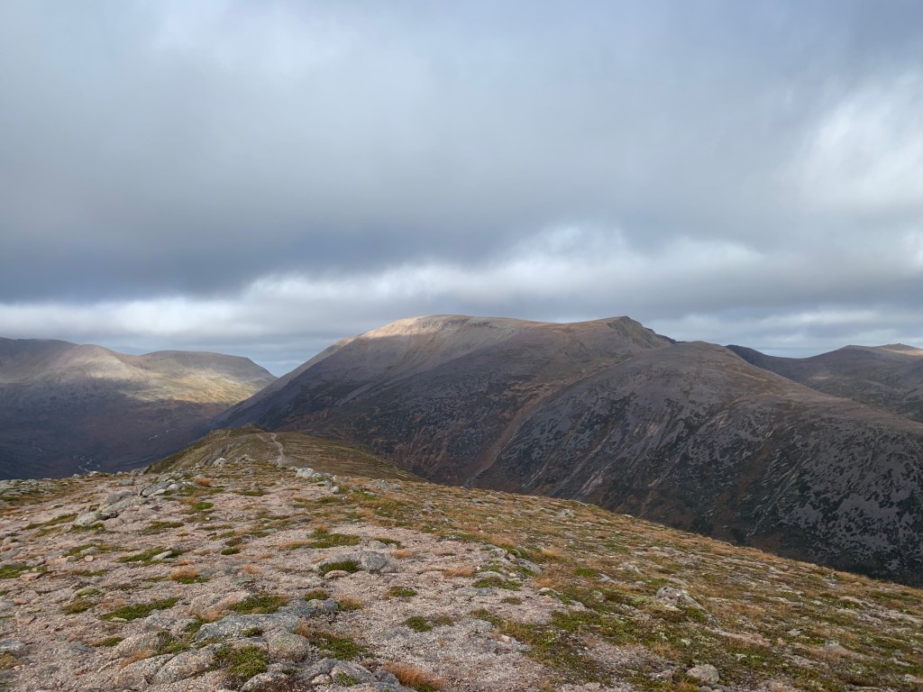
Mullach Clach a’Bhlair itself is a rounded hill, a bit non-descript, but with a very windy top! I’m not sure what the actual wind speed was, but this was the type that takes the air from in front of your face right as you try to breathe it. It very nearly took the hat off my head. The cloud was also hanging so low it seemed like I could almost touch it. And I was looking at a view through a letterbox.
The wind discombobulated me so I missed the path I had planned to take on the return leg, but hey ho I followed a jeep track which I was confident would take me to the right place. Back in Glen Feshie there was no trace of the gales blowing at the top, so I had a lovely peaceful stroll back up the Glen.